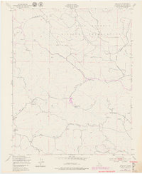
1948 Map of Adelaida
USGS Topo · Published 1979About this map
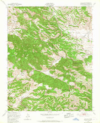
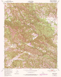
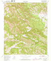
Camp Roberts Military Reservation dominates the northern landscape of this San Luis Obispo County quadrangle, where the rugged terrain transitions from military training grounds to private ranchlands and rural settlements. The tiny community of Adelaida serves as a focal point for the region's historical geography, supported by the Adelaida Cem and the Lincoln Sch, which reflect the early social foundations of this remote upland area.
Find a feature on this map
30 named features on this map. Tap any name to fly to it.
Don’t see what you’re looking for? This feature index may not catch every label — zoom into the map to look around manually.
Map Details
Editions of this 1948 Adelaida Map
8 editions found
Other maps of this area

1919 · San Miguel
USGS Topo · 1:62,500

1919 · Paso Robles
USGS Topo · 1:62,500

1919 · Bradley
USGS Topo · 1:62,500

1919 · Adelaida
USGS Topo · 1:62,500

1932 · Adelaida
USGS Topo · 1:62,500

1941 · Bradley
USGS Topo · 1:62,500

1942 · Adelaida
USGS Topo · 1:62,500

1943 · Paso Robles
USGS Topo · 1:62,500

1947 · San Luis Obispo
USGS Topo · 1:250,000

1947 · San Miguel
USGS Topo · 1:62,500