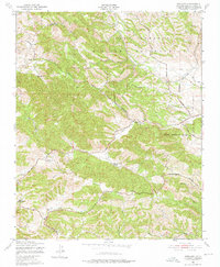
1948 Map of Adelaida
USGS Topo · Published 1952About this map
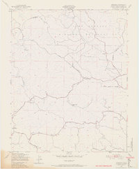
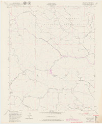
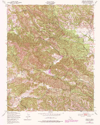
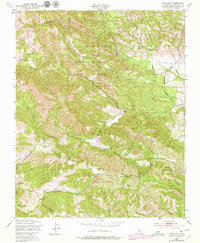
Camp Roberts Military Reservation dominates the northern landscape of this survey, defining a period of significant military presence in the Santa Lucia Mountains. The terrain is characterized by winding watercourses such as Snake Creek and Chimney Rock Creek, which carve through the hills towards the more established grazing lands of White Ranch and Chimney Rock Ranch. Evidence of the area's rural social fabric is found in the local landmarks of the Adelaida district, including Lincoln Sch and the Adelaida Cem. The map illustrates a network of essential travel corridors like the San Miguel Road and Paso Robles Road, which connected these working ranchlands to regional hubs. To the south, Las Tablas Creek and Peachy Canyon mark the drainage patterns of an area defined by its agricultural heritage and the transition between wilderness and settlement.
Find a feature on this map
20 named features on this map. Tap any name to fly to it.
Don’t see what you’re looking for? This feature index may not catch every label — zoom into the map to look around manually.
Map Details
Editions of this 1948 Adelaida Map
8 editions found
Other maps of this area

1919 · San Miguel
USGS Topo · 1:62,500

1919 · Paso Robles
USGS Topo · 1:62,500

1919 · Bradley
USGS Topo · 1:62,500

1919 · Adelaida
USGS Topo · 1:62,500

1932 · Adelaida
USGS Topo · 1:62,500

1941 · Bradley
USGS Topo · 1:62,500

1942 · Adelaida
USGS Topo · 1:62,500

1943 · Paso Robles
USGS Topo · 1:62,500

1947 · San Luis Obispo
USGS Topo · 1:250,000

1947 · San Miguel
USGS Topo · 1:62,500