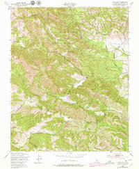
1948 Map of Adelaida
USGS Topo · Published 1979About this map
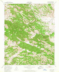
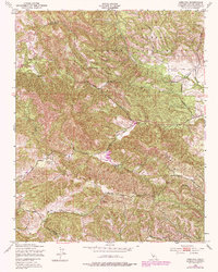
The Camp Roberts Military Reservation occupies a significant portion of this northern San Luis Obispo County landscape, reflecting the military's influence on regional land use during the mid-20th century. Outside the reservation, the area maintains a rural ranching character, centered around the community of Adelaida. Local infrastructure is sparse but well-defined, with family-named landmarks like White Ranch and Chimney Rock Ranch marking the drainages of San Marcos Creek and Las Tablas Creek. Education and community memory are anchored by the Lincoln Sch and the Adelaida Cem, providing vital points of reference for genealogists. The terrain is deeply dissected, with the prominent Chimney Rock rising near the confluence of several seasonal waterways. Revisions from the late 1970s show the addition of a modern landing strip, indicating the gradual modernization of these established ranching territories.
Find a feature on this map
27 named features on this map. Tap any name to fly to it.
Don’t see what you’re looking for? This feature index may not catch every label — zoom into the map to look around manually.
Map Details
Editions of this 1948 Adelaida Map
8 editions found
Other maps of this area

1919 · San Miguel
USGS Topo · 1:62,500

1919 · Paso Robles
USGS Topo · 1:62,500

1919 · Bradley
USGS Topo · 1:62,500

1919 · Adelaida
USGS Topo · 1:62,500

1932 · Adelaida
USGS Topo · 1:62,500

1941 · Bradley
USGS Topo · 1:62,500

1942 · Adelaida
USGS Topo · 1:62,500

1943 · Paso Robles
USGS Topo · 1:62,500

1947 · San Luis Obispo
USGS Topo · 1:250,000

1947 · San Miguel
USGS Topo · 1:62,500