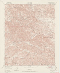
1948 Map of Adelaida
USGS Topo · Published 1967About this map
Adelaida serves as the focal point of this 1940s topography, situated amidst the complex terrain of San Luis Obispo County. The landscape is defined by the expansive Camp Roberts Military Reservation, which occupies the northern half of the quadrangle. This military presence contrasts with the rural ranching operations to the south and west, evidenced by White Ranch and Chimney Rock Ranch. The drainage patterns of Snake Creek, Chimney Rock Creek, and Las Tablas Creek carve through the hills, illustrating the natural water sources critical to this Mediterranean climate. Education for the local ranching community is represented by the Lincoln Sch, while a network of improved and unimproved routes like San Marcos Road and Paso Robles Road connect these isolated settlements and holdings.
Find a feature on this map
18 named features on this map. Tap any name to fly to it.
Don’t see what you’re looking for? This feature index may not catch every label — zoom into the map to look around manually.
Map Details
Editions of this 1948 Adelaida Map
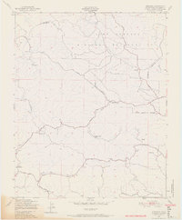
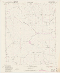
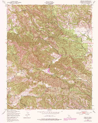
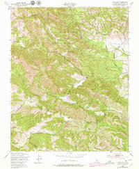
8 editions found
Other maps of this area

1919 · San Miguel
USGS Topo · 1:62,500

1919 · Paso Robles
USGS Topo · 1:62,500

1919 · Bradley
USGS Topo · 1:62,500

1919 · Adelaida
USGS Topo · 1:62,500

1932 · Adelaida
USGS Topo · 1:62,500

1941 · Bradley
USGS Topo · 1:62,500

1942 · Adelaida
USGS Topo · 1:62,500

1943 · Paso Robles
USGS Topo · 1:62,500

1947 · San Luis Obispo
USGS Topo · 1:250,000

1947 · San Miguel
USGS Topo · 1:62,500