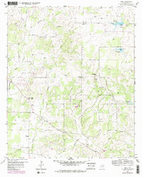
1959 Map of Adell
USGS Topo · Published 1979About this map
Adell and Advance anchor this rural landscape in north-central Texas, where the terrain transitions from the elevations of Slipdown Mtn and Bald Knob toward the drainage basins of the Clear Fork Trinity River. The settlement pattern in the late 1950s was defined by small community hubs centered on local congregations, such as Adell Ch, Lone Star Ch, and Bethesda Ch. These landmarks, along with Rich Cem, provide essential data points for genealogists tracing family roots in this corner of Parker County.
Find a feature on this map
26 named features on this map. Tap any name to fly to it.
Don’t see what you’re looking for? This feature index may not catch every label — zoom into the map to look around manually.
Map Details
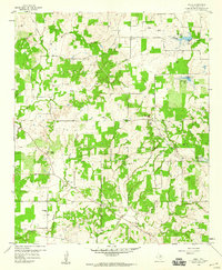
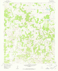
Editions of this 1959 Adell Map
3 editions found
Other maps of this area

1891 · Weatherford
USGS Topo · 1:125,000

1891 · Palo Pinto
USGS Topo · 1:125,000

1893 · Weatherford
USGS Topo · 1:125,000

1918 · Palo Pinto
USGS Topo · 1:125,000

1927 · Mineral Wells
USGS Topo · 1:62,500

1954 · Dallas
USGS Topo · 1:250,000

1954 · Sherman
USGS Topo · 1:250,000

1954 · Abilene
USGS Topo · 1:250,000

1954 · Wichita Falls
USGS Topo · 1:250,000

1958 · Dallas
USGS Topo · 1:250,000