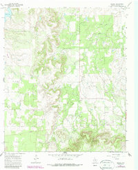
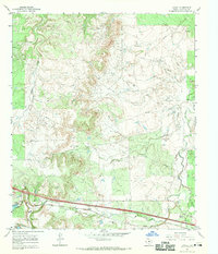
1966 Map of Admiral
USGS Topo · Published 1987About this map
Belle Plain stands as a focal point of historical interest in this mid-1960s landscape, where the presence of Ruins, the Belle Plain Cem, and a Belle Plain Historical Marker suggest a settlement with deep roots in Callahan County. The terrain is defined by the significant elevations of Spring Gap and Spring Gap 2 to the south, while the northern reaches are marked by Baird Lake. Waterways including Deep Creek, Brushy Creek, and the West Fork drain the dissected plains, which were actively being worked for resources as evidenced by numerous Oil Wells and several Gravel Pit operations. The small community of Admiral sits centrally, connected by a network of roads and pipelines that highlight the mid-century infrastructure supporting the local ranching and petroleum economy.
Find a feature on this map
16 named features on this map. Tap any name to fly to it.
Don’t see what you’re looking for? This feature index may not catch every label — zoom into the map to look around manually.
Map Details
Editions of this 1966 Admiral Map
2 editions found
Other maps of this area

1931 · Baird
USGS Topo · 1:125,000

1932 · Baird
USGS Topo · 1:125,000

1954 · Abilene
USGS Topo · 1:250,000

1958 · Abilene
USGS Topo · 1:250,000

1966 · Putnam South
USGS Topo · 1:24,000
1966 · Baird
USGS Topo · 1:24,000

1966 · Admiral
USGS Topo · 1:24,000
1966 · Putnam North
USGS Topo · 1:24,000
1966 · Cub Hollow
USGS Topo · 1:24,000
1966 · Jayell
USGS Topo · 1:24,000