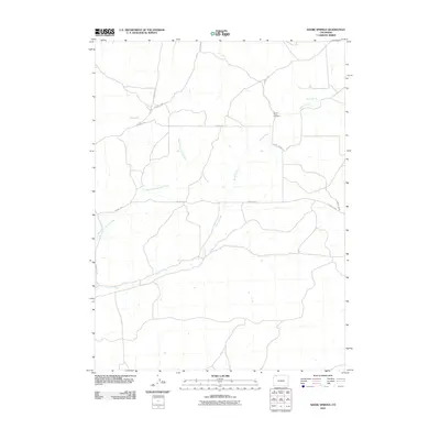
2010 Map of Adobe Springs
USGS Topo · Published 2010About this map
Spring Creek and its tributaries define the drainage patterns of this high-desert landscape in Moffat County. The most significant historical marker on the sheet is the Spring Creek Cemetery, located near the intersection of several rural tracks, including County Rd 6 and County Rd 5. The topography is shaped by seasonal watercourses like Red Wash and the West Prong Spring Creek, which cut through the terrain north of the namesake Adobe Springs. This 2010 survey documents the sparse network of county roads that provide the only access across these vast stretches of open land, highlighting the remote nature of the region's ranching or grazing heritage.
Find a feature on this map
11 named features on this map. Tap any name to fly to it.
Don’t see what you’re looking for? This feature index may not catch every label — zoom into the map to look around manually.
Map Details
Editions of this 2010 Adobe Springs Map
This is the sole edition of this map. No revisions or reprints were ever made.
Other maps of this area

1916 · Craig
USGS Topo · 1:125,000

1954 · Vernal
USGS Topo · 1:250,000

1954 · Craig
USGS Topo · 1:250,000

1957 · Craig
USGS Topo · 1:250,000

1958 · Vernal
USGS Topo · 1:250,000

1958 · Craig
USGS Topo · 1:250,000

1958 · Maybell
USGS Topo · 1:62,500

1960 · Craig
USGS Topo · 1:250,000

1960 · Vernal
USGS Topo · 1:250,000

1962 · Craig
USGS Topo · 1:250,000