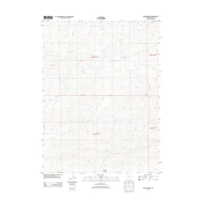
2013 Map of Adobe Springs
USGS Topo · Published 2013About this map
Adobe Springs and the drainage network of the Yampa Valley characterize this portion of Moffat County. The landscape is defined by the carved paths of Spring Cr and its tributaries, including W Prong Spring Cr, which wind through a series of high-desert gulches and washes. A singular marker of early settlement is found at Spring Creek Cem, situated near a bend in Co Road 6. This cemetery serves as a focal point for local history in a region dominated by wide-open terrain and cattle-guard roads. The map captures the area's essential hydraulic features, from the erosion patterns of Red Wash in the northwest to the descent of Mud Spring Gulch in the south, reflecting a remote landscape where water sources dictated the movement of early ranchers and travelers through the high plains.
Find a feature on this map
16 named features on this map. Tap any name to fly to it.
Don’t see what you’re looking for? This feature index may not catch every label — zoom into the map to look around manually.
Map Details
Editions of this 2013 Adobe Springs Map
This is the sole edition of this map. No revisions or reprints were ever made.
Other maps of this area

1916 · Craig
USGS Topo · 1:125,000

1954 · Vernal
USGS Topo · 1:250,000

1954 · Craig
USGS Topo · 1:250,000

1957 · Craig
USGS Topo · 1:250,000

1958 · Vernal
USGS Topo · 1:250,000

1958 · Craig
USGS Topo · 1:250,000

1958 · Maybell
USGS Topo · 1:62,500

1960 · Craig
USGS Topo · 1:250,000

1960 · Vernal
USGS Topo · 1:250,000

1962 · Craig
USGS Topo · 1:250,000