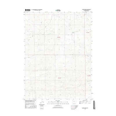
2016 Map of Adobe Springs
USGS Topo · Published 2016About this map
Spring Creek Cem stands as a quiet landmark in this high-desert portion of Moffat County, located near the intersection of Co RD 6 and Co RD 8n. This landscape is defined by its drainage systems, where the ephemeral paths of Red Wash and Spring Cr carve through the terrain. The namesake Adobe Springs is situated in the northeastern portion of the survey area, suggesting a vital water source in an otherwise arid environment.
Find a feature on this map
14 named features on this map. Tap any name to fly to it.
Don’t see what you’re looking for? This feature index may not catch every label — zoom into the map to look around manually.
Map Details
Editions of this 2016 Adobe Springs Map
This is the sole edition of this map. No revisions or reprints were ever made.
Other maps of this area

1916 · Craig
USGS Topo · 1:125,000

1954 · Vernal
USGS Topo · 1:250,000

1954 · Craig
USGS Topo · 1:250,000

1957 · Craig
USGS Topo · 1:250,000

1958 · Vernal
USGS Topo · 1:250,000

1958 · Craig
USGS Topo · 1:250,000

1958 · Maybell
USGS Topo · 1:62,500

1960 · Craig
USGS Topo · 1:250,000

1960 · Vernal
USGS Topo · 1:250,000

1962 · Craig
USGS Topo · 1:250,000