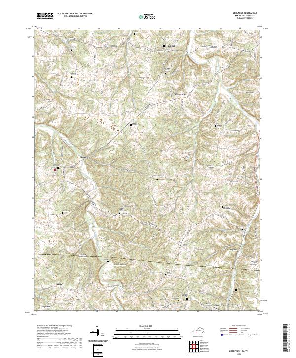
2022 Map of Adolphus
USGS Topo · Published 2022About this map
Trammel Creek and its many tributaries, including Ramble Cr and Buck Creek, carve a dissected landscape across the Allen and Sumner County line. This 2022 survey captures the rural character of the Kentucky-Tennessee border, where small settlements like Adolphus, Chapel Hill, and Alonzo are connected by a network of local roads such as Old Franklin Rd and New Mt Gilead Church Rd. The map is particularly rich for genealogical research, documenting numerous family and community burial grounds including the Lamb Family Cem, Walkers Chapel Cem, and Oak Forest Cem Number 1. Significant community landmarks like Sugar Grove Airport and the Oakwood Mennonite Cem highlight the modern cultural layers of this agricultural region. The distribution of sites like Union Chapel Church and Red Hill General Baptist Church suggests a long-standing pattern of dispersed rural congregations.
Find a feature on this map
121 named features on this map. Tap any name to fly to it.
Don’t see what you’re looking for? This feature index may not catch every label — zoom into the map to look around manually.
Map Details
Editions of this 2022 Adolphus Map
This is the sole edition of this map. No revisions or reprints were ever made.
Other maps of this area

1921 · Bowling Green
USGS Topo · 1:62,500

1923 · Bowling Green
USGS Topo · 1:62,500

1926 · Scottsville
USGS Topo · 1:62,500

1928 · Adolphus
USGS Topo · 1:48,000

1931 · Lafayette
USGS Topo · 1:62,500

1931 · Adolphus
USGS Topo · 1:62,500

1942 · Gallatin
USGS Topo · 1:100,000

1954 · Drake
USGS Topo · 1:24,000

1954 · Petroleum
USGS Topo · 1:24,000

1954 · Scottsville
USGS Topo · 1:24,000