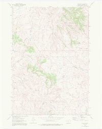
1972 Map of Adon NW
USGS Topo · Published 1987About this map
Duck Creek Breaks define the northeast corner of this Campbell County landscape, where the high plains begin their descent into a network of seasonal watercourses. The early 1970s land use is characterized by an emerging energy infrastructure, evidenced by numerous drill holes and oil wells scattered throughout the territory. These industrial markers sit alongside established ranching features like the pipeline and several flowing wells that provide vital water in this arid environment. Drainage patterns are dominated by the South Fork Duck Creek and West Fork Duck Creek, which converge among the breaks, while the southern portion of the quadrangle is etched by Wild Horse Creek and the long expanse of Anderson Draw. This survey captures a moment when traditional grazing lands were increasingly being surveyed for their subsurface mineral potential.
Find a feature on this map
15 named features on this map. Tap any name to fly to it.
Don’t see what you’re looking for? This feature index may not catch every label — zoom into the map to look around manually.
Map Details
Editions of this 1972 Adon NW Map
2 editions found
Other maps of this area

1954 · Gillette
USGS Topo · 1:250,000

1955 · Gillette
USGS Topo · 1:250,000

1958 · Gillette
USGS Topo · 1:250,000

1962 · Gillette
USGS Topo · 1:250,000
1972 · Bonnie Reservoir
USGS Topo · 1:24,000
1972 · Tuttle Draw
USGS Topo · 1:24,000
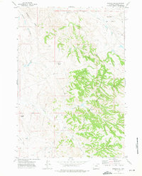
1972 · Bowman Hill
USGS Topo · 1:24,000
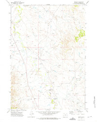
1972 · Weston
USGS Topo · 1:24,000
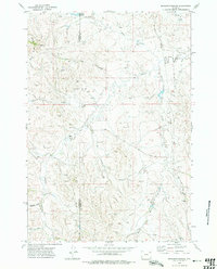
1972 · Brislawn School
USGS Topo · 1:24,000
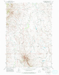
1972 · Lone Tree Creek
USGS Topo · 1:24,000