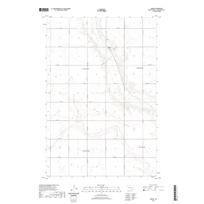
2020 Map of Adrian
USGS Topo · Published 2020About this map
The settlement of Adrian sits along the winding course of the James River in this central North Dakota landscape. The map details a rural geography defined by the intersecting waterways of Dry Creek and Bone Hill Cr, which carve through the prairie terrain. For local historians and genealogists, the Adrian Cem remains a primary landmark north of the town site. The area is structured by a strict section-line grid of roads, including 86th Ave SE and 55th St SE, reflecting the legacy of the Public Land Survey System. The map captures the agricultural footprint of the region, showing how the local road network, such as Co Rd 63, follows the river valley and connects scattered farmsteads across the townships of T136N and T135N.
Find a feature on this map
26 named features on this map. Tap any name to fly to it.
Don’t see what you’re looking for? This feature index may not catch every label — zoom into the map to look around manually.
Map Details
Editions of this 2020 Adrian Map
This is the sole edition of this map. No revisions or reprints were ever made.
Other maps of this area

1894 · La Moure
USGS Topo · 1:62,500

1895 · Lamoure
USGS Topo · 1:125,000

1896 · Jamestown
USGS Topo · 1:125,000

1896 · Edgeley
USGS Topo · 1:125,000

1897 · Eckelson
USGS Topo · 1:125,000

1918 · La Moure
USGS Topo · 1:125,000

1925 · Edgeley
USGS Topo · 1:125,000

1952 · Dickey
USGS Topo · 1:24,000

1953 · Jamestown
USGS Topo · 1:250,000

1953 · Montpelier
USGS Topo · 1:24,000