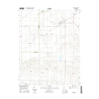
2015 Map of Advance
USGS Topo · Published 2015About this map
Advance serves as the primary hub of this Missouri landscape, situated near the intersection of the Bollinger Co Stoddard Co line. The map reveals a complex hydraulic system managed through the Castor River Diversion Channel and various drainage routes like Tilley Ditch, which redirect water away from the low-lying terrain near Goose Pond Hills. To the south, the terrain becomes more varied around Swinton and the waters of Wolf Cr.
Find a feature on this map
67 named features on this map. Tap any name to fly to it.
Don’t see what you’re looking for? This feature index may not catch every label — zoom into the map to look around manually.
Map Details
Editions of this 2015 Advance Map
This is the sole edition of this map. No revisions or reprints were ever made.
Other maps of this area

1934 · Bloomfield
USGS Topo · 1:62,500

1934 · Advance
USGS Topo · 1:62,500

1934 · Puxico
USGS Topo · 1:62,500

1935 · Zalma
USGS Topo · 1:62,500

1939 · Bloomfield
USGS Topo · 1:62,500

1939 · Advance
USGS Topo · 1:62,500

1939 · Puxico
USGS Topo · 1:62,500

1939 · Zalma
USGS Topo · 1:62,500

1949 · Paducah
USGS Topo · 1:250,000

1949 · Rolla
USGS Topo · 1:250,000