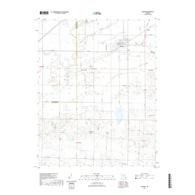
2017 Map of Advance
USGS Topo · Published 2017About this map
The Castor River Diversion Channel and Tilley Ditch dominate the northern landscape of this Missouri quadrangle, reflecting long-standing drainage efforts across the lowland border between Bollinger and Stoddard counties. The city of Advance serves as the primary hub, where local streets like W Benton Ave and Sturdivant Ave meet the regional transport lines of State Hwy C. Smaller clusters such as Brownwood, Swinton, and Toga provide a look at the rural settlement patterns common to the area.
Find a feature on this map
70 named features on this map. Tap any name to fly to it.
Don’t see what you’re looking for? This feature index may not catch every label — zoom into the map to look around manually.
Map Details
Editions of this 2017 Advance Map
This is the sole edition of this map. No revisions or reprints were ever made.
Other maps of this area

1934 · Bloomfield
USGS Topo · 1:62,500

1934 · Advance
USGS Topo · 1:62,500

1934 · Puxico
USGS Topo · 1:62,500

1935 · Zalma
USGS Topo · 1:62,500

1939 · Bloomfield
USGS Topo · 1:62,500

1939 · Advance
USGS Topo · 1:62,500

1939 · Puxico
USGS Topo · 1:62,500

1939 · Zalma
USGS Topo · 1:62,500

1949 · Paducah
USGS Topo · 1:250,000

1949 · Rolla
USGS Topo · 1:250,000