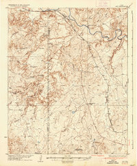
1936 Map of Ady
USGS Topo · Published 1936About this map
The Canadian River carves through the Panhandle landscape northwest of Amarillo, defining a region dominated by sprawling cattle operations and early 20th-century rail infrastructure. Large landholdings like the L S Ranch, Vancil Ranch, and the Tecovas Spring Fryingpan Ranch represent the legacy of the open range era transitioning into organized ranching. The Fort Worth and Denver City railroad provides the primary industrial artery, connecting small sidings and spurs such as Ady, Boden, and Cross Spur.
Find a feature on this map
36 named features on this map. Tap any name to fly to it.
Don’t see what you’re looking for? This feature index may not catch every label — zoom into the map to look around manually.
Map Details
Editions of this 1936 Ady Map
This is the sole edition of this map. No revisions or reprints were ever made.
Other maps of this area
1934 · Ady
USGS Topo · 1:62,500
1934 · Cliffside
USGS Topo · 1:62,500
1936 · Fourways
USGS Topo · 1:62,500
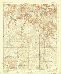
1936 · Cliffside
USGS Topo · 1:62,500
1953 · Marsh
USGS Topo · 1:24,000
1953 · Puente
USGS Topo · 1:24,000
1953 · Cliffside
USGS Topo · 1:24,000
1954 · Tucumcari
USGS Topo · 1:250,000
1954 · Amarillo
USGS Topo · 1:250,000
1958 · Amarillo
USGS Topo · 1:250,000