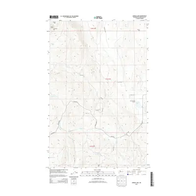
2014 Map of Aeneas Lake
USGS Topo · Published 2014About this map
Aeneas Lookout stands atop the high ground of Aeneas Mtn, overlooking a landscape defined by sharp elevation shifts and isolated water bodies in Okanogan County. This 2014 survey reveals a network of high-altitude basins and canyons, including the prominent Horse Springs Coulee and the distinctively named Flatiron landform. The mapping of Silver Star Mine Rd in the northern reach of the quadrangle suggests the area's history of mineral exploration, while the presence of scattered water sources like Hunter Lake and Turtle Lake indicates vital hydration points for livestock or local wildlife in this semi-arid terrain.
Find a feature on this map
32 named features on this map. Tap any name to fly to it.
Don’t see what you’re looking for? This feature index may not catch every label — zoom into the map to look around manually.
Map Details
Editions of this 2014 Aeneas Lake Map
This is the sole edition of this map. No revisions or reprints were ever made.
Other maps of this area

1902 · Osoyoos
USGS Topo · 1:125,000

1904 · Osoyoos
USGS Topo · 1:125,000

1906 · Chopaka
USGS Topo · 1:125,000

1954 · Okanogan
USGS Topo · 1:250,000

1956 · Loomis
USGS Topo · 1:62,500

1957 · Conconully
USGS Topo · 1:62,500

1957 · Tonasket
USGS Topo · 1:62,500

1957 · Oroville
USGS Topo · 1:62,500

1958 · Okanogan
USGS Topo · 1:250,000
1980 · Keystone
USGS Topo · 1:24,000