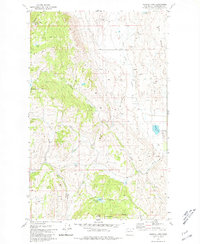
1980 Map of Aeneas Lake
USGS Topo · Published 1981About this map
Silver Mtn Mine and various scattered prospects characterize the mineral-rich highlands of Okanogan County in this 1980 survey. The topography is defined by the significant rise of Aeneas Mtn, where the Aeneas Lookout stands as a sentinel over a landscape of steep ridges and tucked-away water bodies like Lymanasky Lake and Hunter Lake. Evidence of early land division is clear along the Indian Allotment Boundary near the eastern edge of the quadrangle.
Find a feature on this map
25 named features on this map. Tap any name to fly to it.
Don’t see what you’re looking for? This feature index may not catch every label — zoom into the map to look around manually.
Map Details
Editions of this 1980 Aeneas Lake Map
This is the sole edition of this map. No revisions or reprints were ever made.
Other maps of this area

1902 · Osoyoos
USGS Topo · 1:125,000

1904 · Osoyoos
USGS Topo · 1:125,000

1906 · Chopaka
USGS Topo · 1:125,000

1954 · Okanogan
USGS Topo · 1:250,000

1956 · Loomis
USGS Topo · 1:62,500

1957 · Conconully
USGS Topo · 1:62,500

1957 · Tonasket
USGS Topo · 1:62,500

1957 · Oroville
USGS Topo · 1:62,500

1958 · Okanogan
USGS Topo · 1:250,000
1980 · Keystone
USGS Topo · 1:24,000