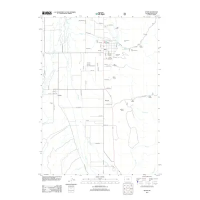
2012 Map of Afton
USGS Topo · Published 2012About this map
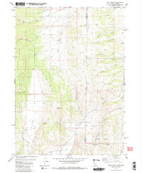
Salt River flows northward through a broad valley floor, anchoring the settlement patterns of Afton, Osmond, and Fairview. This modern era survey reveals a landscape where organized municipal infrastructure, such as the Afton Municipal Airport and the Lincoln County Fair Grounds, sits alongside the natural drainages of Swift Cr and Cottonwood Cr. The map captures the interface between the valley’s agricultural grid and the rising eastern terrain, which is deeply incised by canyons like Graveyard Canyon and Hale Canyon.
Find a feature on this map
79 named features on this map. Tap any name to fly to it.
Don’t see what you’re looking for? This feature index may not catch every label — zoom into the map to look around manually.
Map Details
Editions of this 2012 Afton Map
This is the sole edition of this map. No revisions or reprints were ever made.
Other maps of this area

1915 · Freedom
USGS Topo · 1:62,500

1915 · Crow Creek
USGS Topo · 1:62,500

1921 · Afton
USGS Topo · 1:125,000

1955 · Preston
USGS Topo · 1:250,000

1958 · Preston
USGS Topo · 1:250,000

1962 · Preston
USGS Topo · 1:250,000
1980 · Grover
USGS Topo · 1:24,000
1980 · Smoot
USGS Topo · 1:24,000
1980 · Elk Valley
USGS Topo · 1:24,000
1980 · Sage Valley
USGS Topo · 1:24,000