
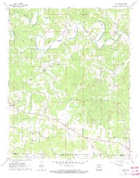
1962 Map of Agnos
USGS Topo · Published 1963About this map
Pleasant Ridge dominates the central landscape of this 1962 survey, where the winding waters of the South Fork Spring River and Myatt Fork meet. The settlement patterns of northern Arkansas are clearly visible as U.S. Route 62 cuts through the territory, connecting the small communities of Glencoe and Agnos. For those tracing local heritage, the map identifies essential landmarks of rural life, including Burks Chapel, Heart Ch, and the Nazarene Ch. The terrain is deeply etched by a network of drainage systems like Lick Creek, Wild Horse Creek, and Neely Creek, which carve through the ridges. Genealogical interests are well-served by the inclusion of family-named burial sites such as Rhoads Cem and Humphries Cem. Near the settlement of Kittle, a Quarry indicates the local extraction industry, while the map also tracks the intersection of the Fulton, Izard, and Sharp county lines.
Find a feature on this map
32 named features on this map. Tap any name to fly to it.
Don’t see what you’re looking for? This feature index may not catch every label — zoom into the map to look around manually.
Map Details
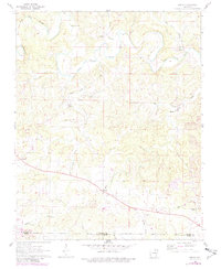
Editions of this 1962 Agnos Map
3 editions found
Other maps of this area

1950 · Salem
USGS Topo · 1:62,500

1951 · Salem
USGS Topo · 1:62,500

1951 · Melbourne
USGS Topo · 1:62,500

1957 · Poplar Bluff
USGS Topo · 1:250,000

1959 · Poplar Bluff
USGS Topo · 1:250,000

1960 · Poplar Bluff
USGS Topo · 1:250,000

1962 · Stuart
USGS Topo · 1:24,000

1962 · Ash Flat
USGS Topo · 1:24,000

1962 · Myron
USGS Topo · 1:24,000

1962 · Mammoth Spring
USGS Topo · 1:24,000