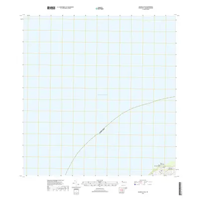
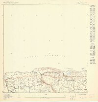
2018 Map of Aguadilla OE N
USGS Topo · Published 2018About this map
Punta Agujereada and the coast of the Island of Puerto Rico define the southeastern corner of this maritime chart, where the land meets the vast expanse of the Atlantic Ocean. The topography is concentrated along the shore, featuring Playa Punta Borinquen and a localized grid of coastal access roads. This 2018 survey captures the northwesternmost tip of the island, documenting a network of infrastructure including Cliff Rd, Hook Rd, and Belt Rd. The map illustrates the specific maritime boundary of Puerto Rico as it extends into the Atlantic, serving as a specialized record of the Aguadilla shoreline and its immediate coastal corridor.
Find a feature on this map
14 named features on this map. Tap any name to fly to it.
Don’t see what you’re looking for? This feature index may not catch every label — zoom into the map to look around manually.
Map Details
Editions of this 2018 Aguadilla OE N Map
This is the sole edition of this map. No revisions or reprints were ever made.
Other maps of this area

1937 · Aguadilla
USGS Topo · 1:20,000

1937 · Moca
USGS Topo · 1:20,000

1941 · Moca
USGS Topo · 1:30,000

1941 · Isabela
USGS Topo · 1:30,000

1942 · Moca
USGS Topo · 1:30,000

1942 · Aguadilla
USGS Topo · 1:30,000
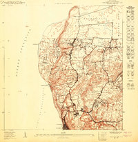
1950 · Aguadilla NE
USGS Topo · 1:10,000
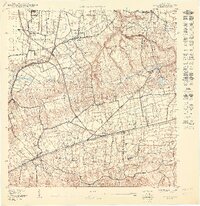
1950 · Moca NO
USGS Topo · 1:10,000
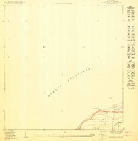
1950 · Aguadilla NNE
USGS Topo · 1:10,000
1950 · Isabela SO
USGS Topo · 1:10,000