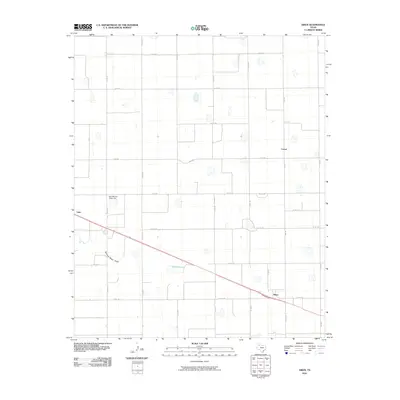
2010 Map of Aiken
USGS Topo · Published 2010About this map
The agricultural crossroads of Aiken and the surrounding Llano Estacado plains are captured here during the first decade of the 21st century. The landscape is defined by a rigid grid of rural roads and the vital infrastructure of the cotton industry, most notably the East Mound Cotton Gin. Small, named locales like Cereal and Lider point to the area's deep ties to the regional grain and fiber economy. The terrain is largely level, punctuated by the seasonal course of Running Water Draw and the depression of Duncan Lake. This survey illustrates how contemporary land use continues to follow the historical patterns of Texas Panhandle farming, where isolated gins and loading points serve as the primary anchors for a scattered rural population.
Find a feature on this map
30 named features on this map. Tap any name to fly to it.
Don’t see what you’re looking for? This feature index may not catch every label — zoom into the map to look around manually.
Map Details
Editions of this 2010 Aiken Map
This is the sole edition of this map. No revisions or reprints were ever made.
Other maps of this area

1954 · Plainview
USGS Topo · 1:250,000

1958 · Plainview
USGS Topo · 1:250,000

1965 · Silverton SW
USGS Topo · 1:24,000

1965 · Lockney
USGS Topo · 1:24,000

1965 · Plainview
USGS Topo · 1:24,000

1966 · Sterley
USGS Topo · 1:24,000

1968 · Happy Union
USGS Topo · 1:24,000

1968 · Plainview SE
USGS Topo · 1:24,000

1968 · Aiken
USGS Topo · 1:24,000

1969 · Kress East
USGS Topo · 1:24,000