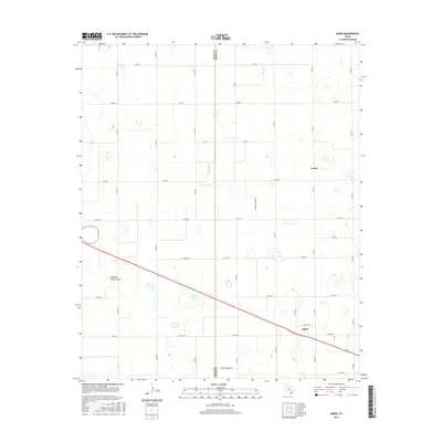
2016 Map of Aiken
USGS Topo · Published 2016About this map
Aiken and Cereal anchor this High Plains landscape, where the flat agricultural terrain is defined by a rigid grid of county roads and the diagonal passage of highway infrastructure. The boundary between Hale Co and Floyd Co bisects the region, which is marked by ephemeral water features like Duncan Lake and the winding Running Water Draw. The map illustrates the intensive land management of modern Texas farming, evidenced by specialized infrastructure such as the Farmer Turnrow. While the landscape appears open, the network of routes including Fm 2301 and Co Rd 140 connects these rural hubs to the broader region. This 2016 survey provides a precise record of the road systems and hydrography that sustain this West Texas community.
Find a feature on this map
34 named features on this map. Tap any name to fly to it.
Don’t see what you’re looking for? This feature index may not catch every label — zoom into the map to look around manually.
Map Details
Editions of this 2016 Aiken Map
This is the sole edition of this map. No revisions or reprints were ever made.
Other maps of this area

1954 · Plainview
USGS Topo · 1:250,000

1958 · Plainview
USGS Topo · 1:250,000

1965 · Silverton SW
USGS Topo · 1:24,000

1965 · Lockney
USGS Topo · 1:24,000

1965 · Plainview
USGS Topo · 1:24,000

1966 · Sterley
USGS Topo · 1:24,000

1968 · Happy Union
USGS Topo · 1:24,000

1968 · Plainview SE
USGS Topo · 1:24,000

1968 · Aiken
USGS Topo · 1:24,000

1969 · Kress East
USGS Topo · 1:24,000