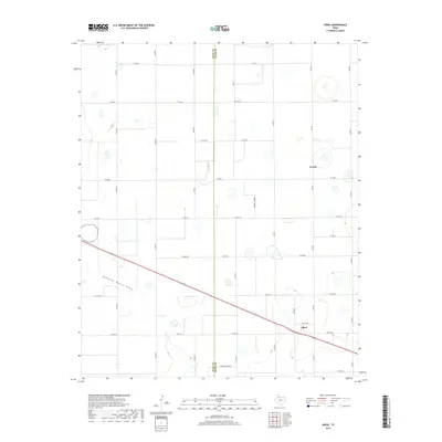
2019 Map of Aiken
USGS Topo · Published 2019About this map
The boundary between Hale Co and Floyd Co bisects this agricultural landscape of the Texas Panhandle. The settlement of Aiken sits along a principal highway corridor, while the locality of Cereal lies to the north, reflecting the region's deep ties to grain production and farming. The terrain is characterized by numerous small depression wetlands and the intermittent drainage of Running Water Draw, which snakes across the southwestern portion of the sheet. Natural hydrology is further represented by Duncan Lake, a prominent local feature amidst a strict grid of county roads such as Co Rd 120 and Co Rd EE. The presence of several Farmer Turnrow designations illustrates the specific land use and internal access systems developed for large-scale West Texas agriculture in the late 2010s.
Find a feature on this map
32 named features on this map. Tap any name to fly to it.
Don’t see what you’re looking for? This feature index may not catch every label — zoom into the map to look around manually.
Map Details
Editions of this 2019 Aiken Map
This is the sole edition of this map. No revisions or reprints were ever made.
Other maps of this area

1954 · Plainview
USGS Topo · 1:250,000

1958 · Plainview
USGS Topo · 1:250,000

1965 · Silverton SW
USGS Topo · 1:24,000

1965 · Lockney
USGS Topo · 1:24,000

1965 · Plainview
USGS Topo · 1:24,000

1966 · Sterley
USGS Topo · 1:24,000

1968 · Happy Union
USGS Topo · 1:24,000

1968 · Plainview SE
USGS Topo · 1:24,000

1968 · Aiken
USGS Topo · 1:24,000

1969 · Kress East
USGS Topo · 1:24,000