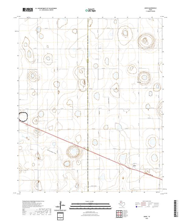
2022 Map of Aiken
USGS Topo · Published 2022About this map
Aiken and Cereal anchor this agricultural expanse on the High Plains, where the border between Hale Co and Floyd Co splits the landscape. The terrain is characterized by its internal drainage systems, notably the intermittent Running Water Draw and Duncan Lake. This environment highlights a sophisticated network of section roads and agricultural access ways, including the uniquely named Farmer Turnrow, which reveal the intensive irrigation and farming patterns typical of the Texas Panhandle. The placement of the two primary settlements along major transportation corridors illustrates how local commerce evolved around the region's productive soil and reliable access to neighboring market centers.
Find a feature on this map
34 named features on this map. Tap any name to fly to it.
Don’t see what you’re looking for? This feature index may not catch every label — zoom into the map to look around manually.
Map Details
Editions of this 2022 Aiken Map
This is the sole edition of this map. No revisions or reprints were ever made.
Other maps of this area

1954 · Plainview
USGS Topo · 1:250,000

1958 · Plainview
USGS Topo · 1:250,000

1965 · Silverton SW
USGS Topo · 1:24,000

1965 · Lockney
USGS Topo · 1:24,000

1965 · Plainview
USGS Topo · 1:24,000

1966 · Sterley
USGS Topo · 1:24,000

1968 · Happy Union
USGS Topo · 1:24,000

1968 · Plainview SE
USGS Topo · 1:24,000

1968 · Aiken
USGS Topo · 1:24,000

1969 · Kress East
USGS Topo · 1:24,000