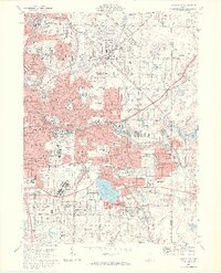
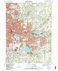
1967 Map of Akron East
USGS Topo · Published 1969About this map
Akron and its eastern industrial suburbs show a landscape shaped by rubber manufacturing and post-war expansion in the late 1960s. The dense neighborhood of Goodyear Heights sits adjacent to the Goodyear Heights Metropolitan Park, illustrating the company’s influence on local planning and recreation. To the south, the Akron Municipal Airport and Municipal Stadium serve as major regional hubs, while the industrial corridor along the Little Cuyahoga River is tightly threaded with a complex rail network including the Akron and Barberton Belt RR and the Erie-Lackawanna RR.
Find a feature on this map
89 named features on this map. Tap any name to fly to it.
Don’t see what you’re looking for? This feature index may not catch every label — zoom into the map to look around manually.
Map Details
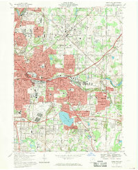
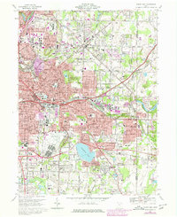
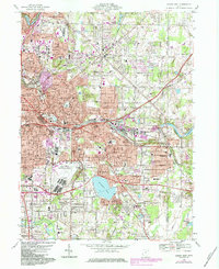
Editions of this 1967 Akron East Map
6 editions found

Other maps of this area

1901 · Massillon
USGS Topo · 1:62,500

1901 · Canton
USGS Topo · 1:62,500

1903 · Massillon
USGS Topo · 1:62,500

1903 · Canton
USGS Topo · 1:62,500

1903 · Akron
USGS Topo · 1:62,500

1905 · Akron
USGS Topo · 1:62,500

1906 · Kent
USGS Topo · 1:62,500

1950 · Cleveland
USGS Topo · 1:250,000

1951 · Canton
USGS Topo · 1:250,000

1953 · Canton
USGS Topo · 1:250,000