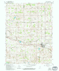
1962 Map of Akron
USGS Topo · Published 1994About this map
The town of Akron serves as a focal point for this Indiana landscape, situated at the junction of several rural routes and the Erie Railroad. The surrounding area of Henry, Franklin, and Newcastle townships is defined by an intricate network of agricultural drainage, including the Smith Ditch and Leininger Ditch, which manage the water levels of numerous glacial lakes like Town Lake and Barr Lake.
Find a feature on this map
38 named features on this map. Tap any name to fly to it.
Don’t see what you’re looking for? This feature index may not catch every label — zoom into the map to look around manually.
Map Details
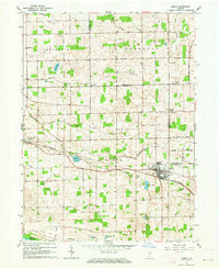
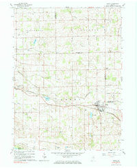
Editions of this 1962 Akron Map
3 editions found
Other maps of this area

1953 · Fort Wayne
USGS Topo · 1:250,000

1953 · Chicago
USGS Topo · 1:250,000

1953 · Danville
USGS Topo · 1:250,000

1953 · Muncie
USGS Topo · 1:250,000

1955 · Danville
USGS Topo · 1:250,000

1956 · Muncie
USGS Topo · 1:250,000

1956 · Danville
USGS Topo · 1:250,000

1956 · Fort Wayne
USGS Topo · 1:250,000

1957 · Chicago
USGS Topo · 1:250,000

1959 · Mentone
USGS Topo · 1:24,000