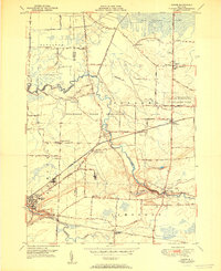
1951 Map of Akron
USGS Topo · Published 1951About this map
The Tonawanda Indian Reservation dominates the center of this landscape, where the Tonawanda Creek meanders through the borderlands of Erie, Genesee, and Niagara counties. Significant cultural landmarks like the Council House and the Tonawanda Indian Community Center are situated within the reservation boundaries. To the west, the village of Akron serves as a local hub, featuring the Central School and Evergreen Cem near the New York Central rail line. The northern reaches transition into the heavy wetlands of the Oak Orchard Swamp, while the southern portion is defined by the flow of Murder Creek near the Pembroke Sta. This 1951 edition provides a detailed look at the rural road network, including family-named routes like Klosen Road and Casey Road, and several one-room schools such as School No 7 and School No 2 that served these dispersed farming communities.
Find a feature on this map
51 named features on this map. Tap any name to fly to it.
Don’t see what you’re looking for? This feature index may not catch every label — zoom into the map to look around manually.
Map Details
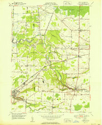
Editions of this 1951 Akron Map
2 editions found
Other maps of this area

1897 · Medina
USGS Topo · 1:62,500

1897 · Lockport
USGS Topo · 1:62,500

1899 · Niagara
USGS Topo · 1:125,000

1902 · Lockport
USGS Topo · 1:62,500

1905 · Attica
USGS Topo · 1:62,500

1905 · Depew
USGS Topo · 1:62,500

1905 · Lockport
USGS Topo · 1:62,500

1944 · Alexander
USGS Topo · 1:31,680

1948 · Depew
USGS Topo · 1:62,500

1948 · Lockport
USGS Topo · 1:62,500