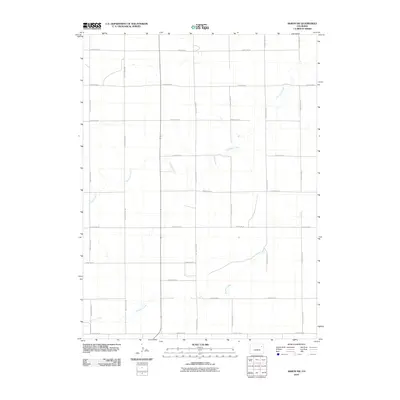
2010 Map of Akron SW
USGS Topo · Published 2010About this map
Surveyor Creek and Brunker Creek carve through this section of Washington County, defining the drainage patterns of an otherwise strictly organized agricultural landscape. The survey captures the precision of the Public Land Survey System, where a rigid grid of local routes like County RD-33 and County RD-BB segment the High Plains into uniform sections. This network of dirt and gravel roads provides a clear view of land division in the early 21st century, illustrating how rural infrastructure is dictated by topography only where the winding creek beds intersect the straight-line geography of the plains. Aside from these seasonal watercourses and the intersecting transit lines, the map focuses on the vast, open spaces characteristic of eastern Colorado’s farming and ranching territory.
Find a feature on this map
18 named features on this map. Tap any name to fly to it.
Don’t see what you’re looking for? This feature index may not catch every label — zoom into the map to look around manually.
Map Details
Editions of this 2010 Akron SW Map
This is the sole edition of this map. No revisions or reprints were ever made.
Other maps of this area

1954 · Limon
USGS Topo · 1:250,000

1954 · Sterling
USGS Topo · 1:250,000

1957 · Limon
USGS Topo · 1:250,000

1958 · Limon
USGS Topo · 1:250,000

1958 · Sterling
USGS Topo · 1:250,000

1973 · Antelope Creek East
USGS Topo · 1:24,000

1973 · Akron
USGS Topo · 1:24,000

1973 · Platner
USGS Topo · 1:24,000

1973 · Fremont Butte
USGS Topo · 1:24,000

1973 · Pinneo SE
USGS Topo · 1:24,000