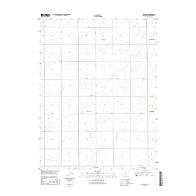
2016 Map of Akron SW
USGS Topo · Published 2016About this map
Surveyor Cr and Brunker Cr define the subtle drainage patterns of this high plains landscape in Washington County. The area is organized by an exacting grid of county roads, such as Co Rd AA and Co Rd 38, which trace the section lines typical of the Public Land Survey System. These routes facilitate the agricultural life of the region, connecting remote farmsteads across townships including t1n r52w and t2n r51w. The network of local thoroughfares like Co Rd DD and Co Rd 35 illustrates the systematic settlement and land use of the Colorado plains, where watercourses like Brunker Cr provided essential, if intermittent, resources for early homesteading efforts.
Find a feature on this map
23 named features on this map. Tap any name to fly to it.
Don’t see what you’re looking for? This feature index may not catch every label — zoom into the map to look around manually.
Map Details
Editions of this 2016 Akron SW Map
This is the sole edition of this map. No revisions or reprints were ever made.
Other maps of this area

1954 · Limon
USGS Topo · 1:250,000

1954 · Sterling
USGS Topo · 1:250,000

1957 · Limon
USGS Topo · 1:250,000

1958 · Limon
USGS Topo · 1:250,000

1958 · Sterling
USGS Topo · 1:250,000

1973 · Antelope Creek East
USGS Topo · 1:24,000

1973 · Akron
USGS Topo · 1:24,000

1973 · Platner
USGS Topo · 1:24,000

1973 · Fremont Butte
USGS Topo · 1:24,000

1973 · Pinneo SE
USGS Topo · 1:24,000