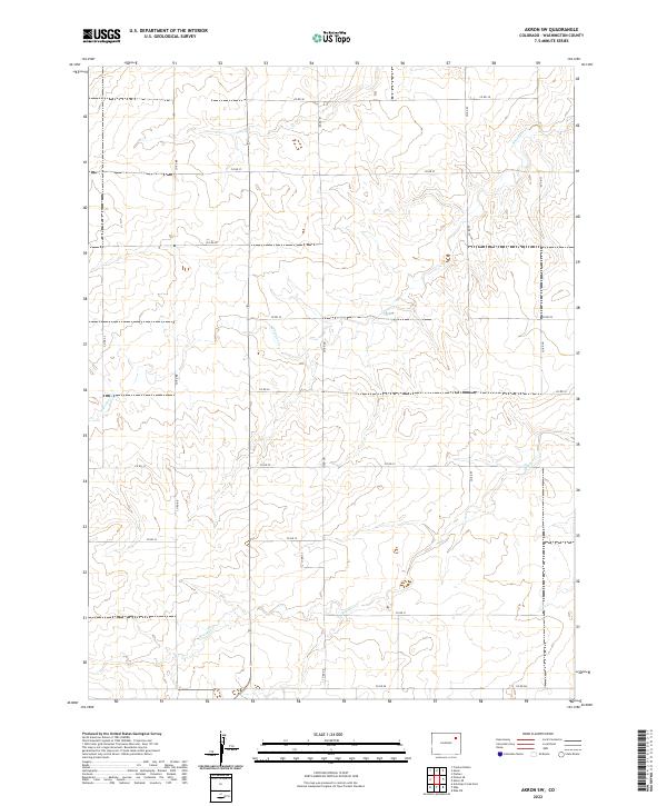
2022 Map of Akron SW
USGS Topo · Published 2022About this map
Surveyor Cr and Brunker Cr drain this stretch of Washington County, defining the drainage patterns across the eastern plains of Colorado. The landscape is organized by the Public Land Survey System, with the boundaries of t2n r52w and t1n r52w establishing a precise grid. This rectangular survey system governs the placement of the rural road network, which follows section lines to facilitate movement across the agricultural terrain. The map highlights a series of county roads, including Co Rd 38 along the northern edge and Co RD EE to the south, which serve the scattered farmsteads and ranching operations characteristic of the region. The lack of concentrated settlements underscores the area's identity as a specialized grazing and dryland farming environment.
Find a feature on this map
20 named features on this map. Tap any name to fly to it.
Don’t see what you’re looking for? This feature index may not catch every label — zoom into the map to look around manually.
Map Details
Editions of this 2022 Akron SW Map
This is the sole edition of this map. No revisions or reprints were ever made.
Other maps of this area

1954 · Limon
USGS Topo · 1:250,000

1954 · Sterling
USGS Topo · 1:250,000

1957 · Limon
USGS Topo · 1:250,000

1958 · Limon
USGS Topo · 1:250,000

1958 · Sterling
USGS Topo · 1:250,000

1973 · Antelope Creek East
USGS Topo · 1:24,000

1973 · Akron
USGS Topo · 1:24,000

1973 · Platner
USGS Topo · 1:24,000

1973 · Fremont Butte
USGS Topo · 1:24,000

1973 · Pinneo SE
USGS Topo · 1:24,000