
1903 Map of Aladdin
USGS Topo · Published 1903About this map
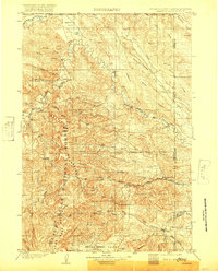
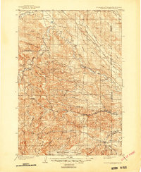
Aladdin serves as a focal point for this early twentieth-century landscape, where the Wyoming and Missouri River R.R. terminates at the base of the Bear Lodge Mountains. The rail line connects the isolated settlement to the wider world, following the winding path of Redwater Creek toward the South Dakota border. The map reveals a transition from the structured ranching of the plains, indicated by the Cross Anchor Ranch and VVV Ranch, to the complex topography of the Bear Lodge range. Landforms like Schoolmarm Butte and Table Mtn provide distinct landmarks for early travelers and surveyors navigating between the Belle Fourche River and Stoneville Flats. Scattered hamlets like Mona, Eothen, and Alva are shown at their height before changing transportation networks altered the region's development.
Find a feature on this map
60 named features on this map. Tap any name to fly to it.
Don’t see what you’re looking for? This feature index may not catch every label — zoom into the map to look around manually.
Map Details
Editions of this 1903 Aladdin Map
3 editions found
Other maps of this area

1894 · Deadwood
USGS Topo · 1:125,000

1898 · Sundance
USGS Topo · 1:125,000

1900 · Spearfish
USGS Topo · 1:62,500

1901 · Deadwood
USGS Topo · 1:125,000

1901 · Aladdin
USGS Topo · 1:125,000

1902 · Sundance
USGS Topo · 1:125,000

1905 · Devils Tower
USGS Topo · 1:125,000

1905 · Indian
USGS Topo · 1:62,500

1907 · Belle Fourche
USGS Topo · 1:125,000

1907 · Redwater
USGS Topo · 1:62,500