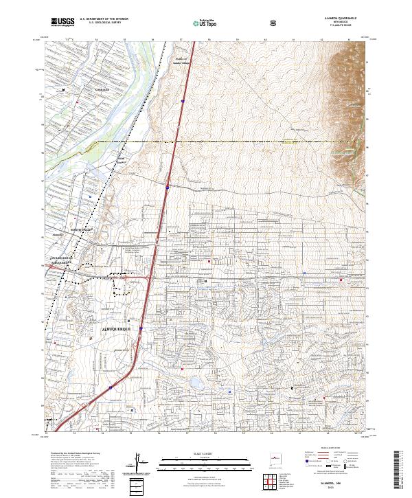
2023 Map of Alameda
USGS Topo · Published 2023About this map
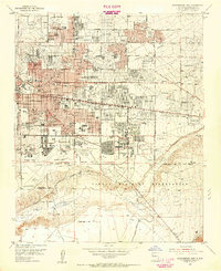
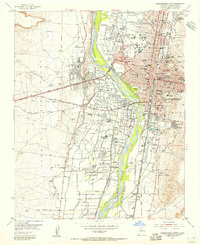
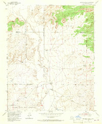
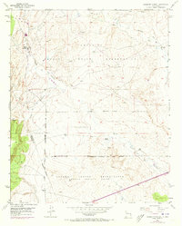
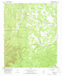
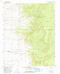
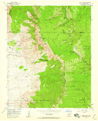
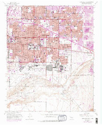
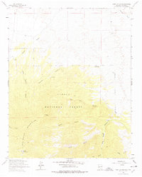
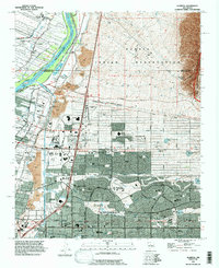
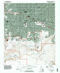
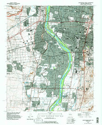
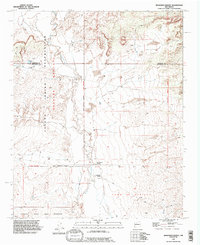
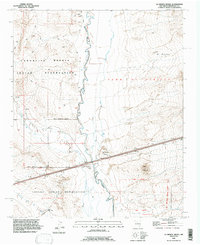
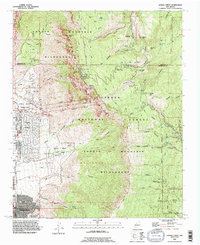
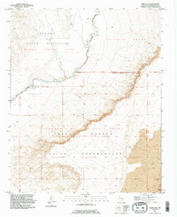
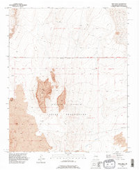
Rio Grande waters dominate the western landscape of this Bernalillo County study, where a complex network of irrigation features like the Upper Corrales Riverside Drain and Corrales Main Canal support the agricultural heritage of Corrales. To the east, the terrain rises sharply into the Sandia Mountain Wilderness and Cibola National Forest, marked by the prominent Rincon Ridge and deep incisions of Juan Tabo Canyon. This geography creates a striking contrast between the verdant river valley and the arid foothills.
Find a feature on this map
50 named features on this map. Tap any name to fly to it.
Don’t see what you’re looking for? This feature index may not catch every label — zoom into the map to look around manually.
Map Details
Editions of this 2023 Alameda Map
This is the sole edition of this map. No revisions or reprints were ever made.
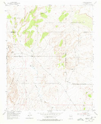
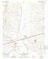
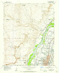
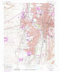
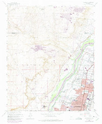
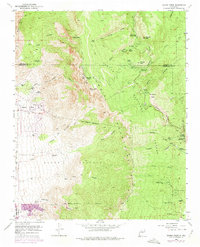
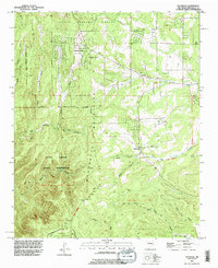
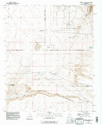
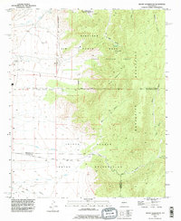
Historical Maps of Tanoan East Through Time
61 maps found

1934 Alameda
Bernalillo County, NM

1934 East Albuquerque
Bernalillo County, NM

1934 Griegos
Bernalillo County, NM

1934 West Albuquerque
Bernalillo County, NM
1952 Dalies NW
Bernalillo County, NM
1952 Hubbell Spring
Bernalillo County, NM
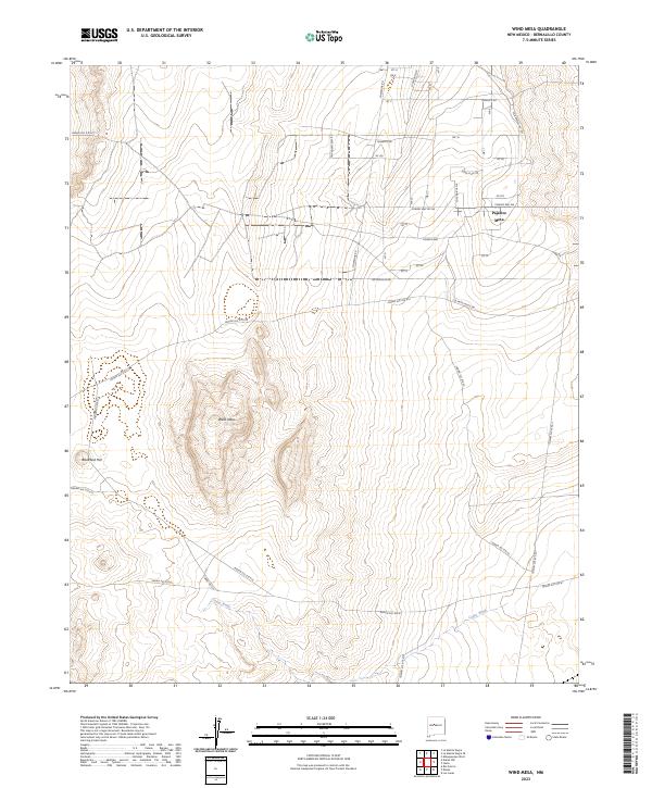
1952 Wind Mesa
Bernalillo County, NM

1954 Alameda
Bernalillo County, NM
1954 Albuquerque East
Bernalillo County, NM
1954 Albuquerque West
Bernalillo County, NM
1954 Benavidez Ranch
Bernalillo County, NM
1954 Canoncito School
Bernalillo County, NM
1954 Escabosa
Bernalillo County, NM
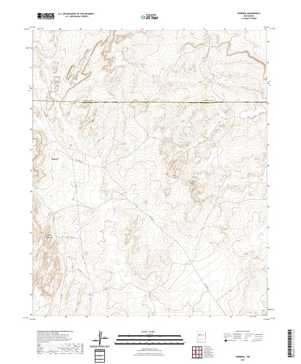
1954 Herrera
Bernalillo County, NM
1954 La Mesita Negra
Bernalillo County, NM

1954 La Mesita Negra SE
Bernalillo County, NM
1954 Los Griegos
Bernalillo County, NM
1954 Mount Washington
Bernalillo County, NM
1954 Sandia Crest
Bernalillo County, NM
1954 Volcano Ranch
Bernalillo County, NM
1960 Alameda
Bernalillo County, NM
1960 Albuquerque East
Bernalillo County, NM
1960 Albuquerque West
Bernalillo County, NM
1960 Los Griegos
Bernalillo County, NM
1961 Sandia Crest
Bernalillo County, NM
1964 Mount Washington
Bernalillo County, NM
1990 Alameda
Bernalillo County, NM
1990 Albuquerque East
Bernalillo County, NM
1990 Albuquerque West
Bernalillo County, NM
1990 Benavidez Ranch
Bernalillo County, NM
1990 La Mesita Negra
Bernalillo County, NM

1990 La Mesita Negra SE
Bernalillo County, NM

1990 Los Griegos
Bernalillo County, NM
1990 Sandia Crest
Bernalillo County, NM
1990 The Volcanoes
Bernalillo County, NM
1991 Dalies NW
Bernalillo County, NM
1991 Escabosa
Bernalillo County, NM
1991 Hubbell Spring
Bernalillo County, NM
1991 Mount Washington
Bernalillo County, NM
1991 Wind Mesa
Bernalillo County, NM
1995 Escabosa
Bernalillo County, NM
1995 Mount Washington
Bernalillo County, NM
1996 Hubbell Spring
Bernalillo County, NM
2006 Alameda
Bernalillo County, NM
2006 Sandia Crest
Bernalillo County, NM
2023 Alameda
Bernalillo County, NM
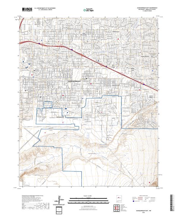
2023 Albuquerque East
Bernalillo County, NM
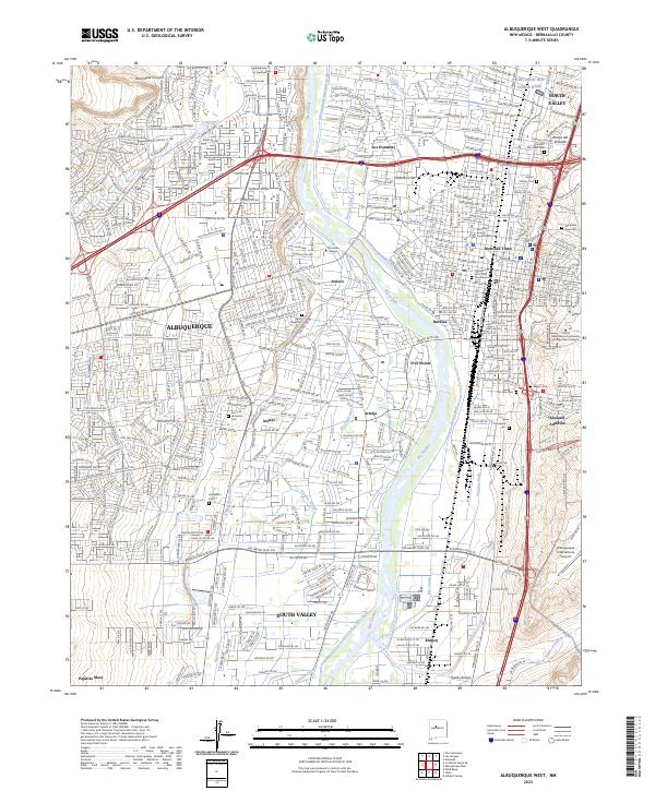
2023 Albuquerque West
Bernalillo County, NM
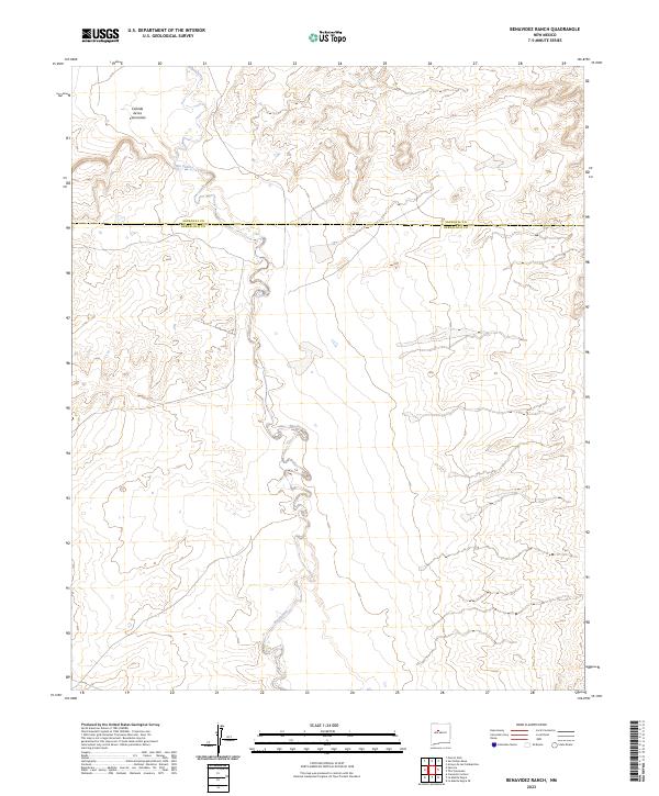
2023 Benavidez Ranch
Bernalillo County, NM
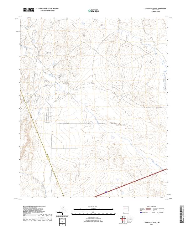
2023 Canoncito School
Bernalillo County, NM
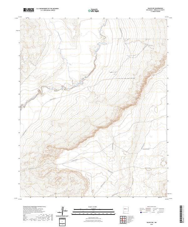
2023 Dalies NW
Bernalillo County, NM
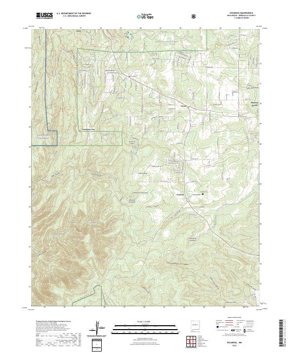
2023 Escabosa
Bernalillo County, NM
2023 Herrera
Bernalillo County, NM
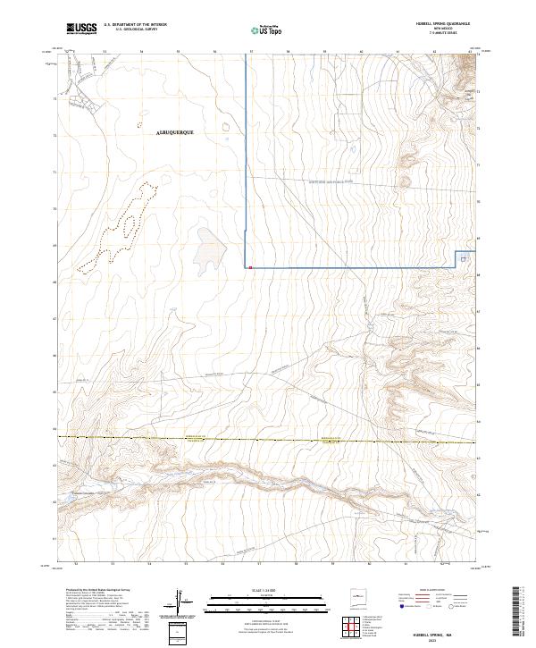
2023 Hubbell Spring
Bernalillo County, NM
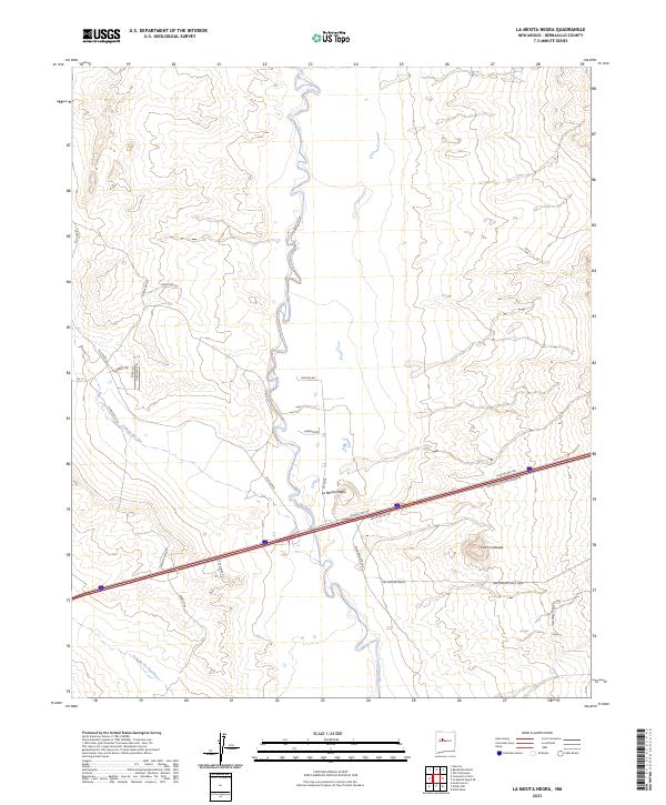
2023 La Mesita Negra
Bernalillo County, NM
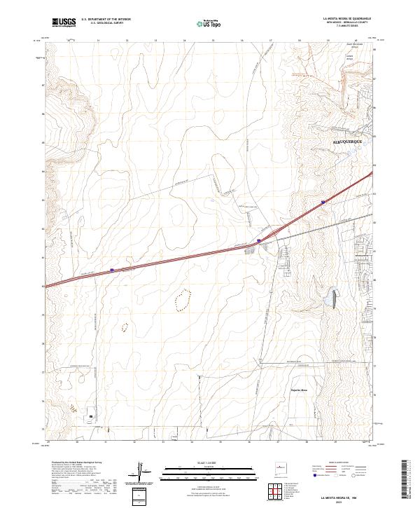
2023 La Mesita Negra SE
Bernalillo County, NM
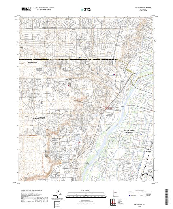
2023 Los Griegos
Bernalillo County, NM
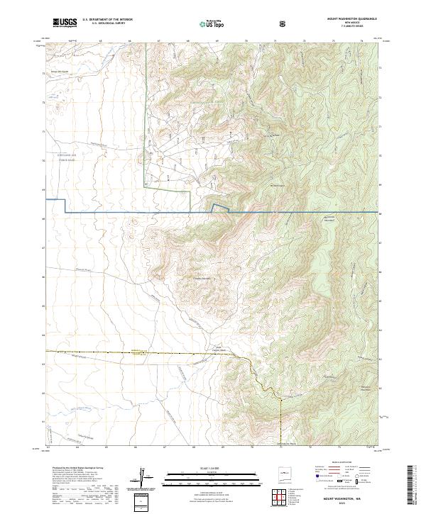
2023 Mount Washington
Bernalillo County, NM
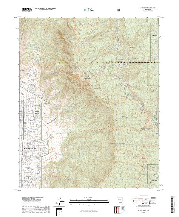
2023 Sandia Crest
Bernalillo County, NM
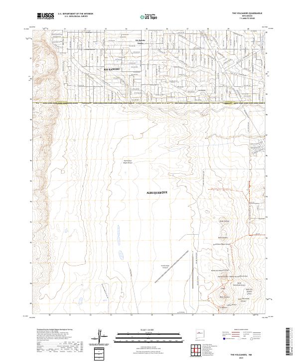
2023 The Volcanoes
Bernalillo County, NM
2023 Wind Mesa
Bernalillo County, NM
Featured Locations
- Los Ranchos de Albuquerque, NM
- Albuquerque, NM
- Corrales, NM
- Eisenhower Area, Albuquerque
- Prospectors Ridge, Albuquerque