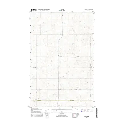
2014 Map of Alamo NE
USGS Topo · Published 2014About this map
The county line between Divide Co and Williams Co bisects this prairie landscape along 84th St NW, documenting the transition between two of North Dakota’s northwestern border counties. The terrain is defined by a dense grid of section roads including 124th Ave NW and ND-42, which provide access to the rolling topography. A significant point of interest for local history and genealogy is the E Opdal Cem, located near the intersection of 85th St NW and the main highway. This 2014 survey records the rural layout before more recent shifts in the agricultural and energy sectors, preserving the locations of specific farm access points and traditional rural burial grounds that define the heritage of this High Plains region.
Find a feature on this map
17 named features on this map. Tap any name to fly to it.
Don’t see what you’re looking for? This feature index may not catch every label — zoom into the map to look around manually.
Map Details
Editions of this 2014 Alamo NE Map
This is the sole edition of this map. No revisions or reprints were ever made.
Other maps of this area

1948 · Alamo N.E.
USGS Topo · 1:24,000

1948 · Crosby SW
USGS Topo · 1:24,000

1948 · Bright Water Lake
USGS Topo · 1:24,000

1948 · Crosby SE
USGS Topo · 1:24,000

1949 · Noonan SW
USGS Topo · 1:24,000

1950 · Crosby
USGS Topo · 1:62,500

1950 · Noonan
USGS Topo · 1:62,500

1953 · Williston
USGS Topo · 1:250,000

1957 · Williston
USGS Topo · 1:250,000

1974 · Wildrose
USGS Topo · 1:24,000