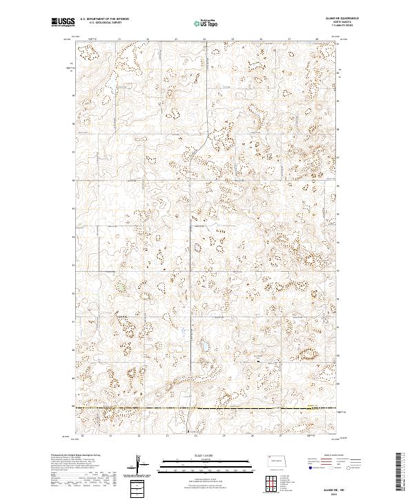
2024 Map of Alamo NE
USGS Topo · Published 2024About this map
Glacial prairie potholes and conservation lands define this corner of the High Plains as it appears in this modern record. The Divide County Waterfowl Production Area dominates the southeast, preserving the characteristic wetland clusters that support migratory birds in the region. Scattered throughout the section lines of the Public Land Survey System are small markers of early 20th-century settlement, including the Corinth Cem and the East Opdal Cem. These burial grounds serve as significant landmarks for genealogists tracing family roots in this corner of the state. The landscape is bisected by the Divide Co Williams Co boundary, which marks the transition between counties along 84th St NW. A rigid grid of gravel roads, including 122nd Ave NW and 91st St NW, provides access to the isolated farmsteads and agricultural tracts that have sustained this prairie community for generations.
Find a feature on this map
28 named features on this map. Tap any name to fly to it.
Don’t see what you’re looking for? This feature index may not catch every label — zoom into the map to look around manually.
Map Details
Editions of this 2024 Alamo NE Map
This is the sole edition of this map. No revisions or reprints were ever made.
Other maps of this area

1948 · Alamo N.E.
USGS Topo · 1:24,000

1948 · Crosby SW
USGS Topo · 1:24,000

1948 · Bright Water Lake
USGS Topo · 1:24,000

1948 · Crosby SE
USGS Topo · 1:24,000

1949 · Noonan SW
USGS Topo · 1:24,000

1950 · Crosby
USGS Topo · 1:62,500

1950 · Noonan
USGS Topo · 1:62,500

1953 · Williston
USGS Topo · 1:250,000

1957 · Williston
USGS Topo · 1:250,000

1974 · Wildrose
USGS Topo · 1:24,000