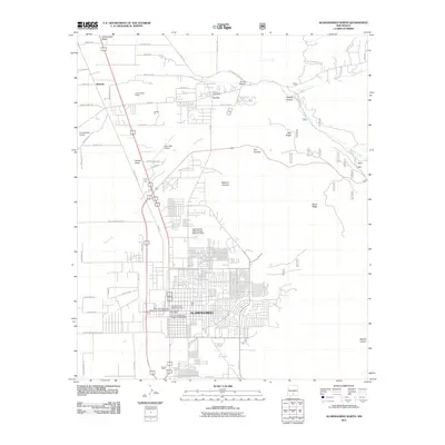
2011 Map of Alamogordo North
USGS Topo · Published 2011About this map
Alamogordo and the historic settlement of La Luz are shown at the eastern edge of the Tularosa Basin, where the desert floor meets the base of the Sacramento Mountains. This survey highlights a unique layering of history, from the Six Jornada Mogollon Villages in Alamogordo and prehistoric Parabolic Dune Hearth Mounds to industrial landmarks like the La Luz Pottery Factory and Ortega Pit. The map captures the interface between urban growth and the desert landscape, defined by drainage features such as Red Arroyo and the Cottonwood Wash. To the west, the boundary of Holloman Air Force Base and the White Sands National Monument Historic District provide modern context to this geographically significant corridor.
Find a feature on this map
71 named features on this map. Tap any name to fly to it.
Don’t see what you’re looking for? This feature index may not catch every label — zoom into the map to look around manually.
Map Details
Editions of this 2011 Alamogordo North Map
This is the sole edition of this map. No revisions or reprints were ever made.
Other maps of this area
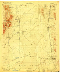
1916 · Tularosa
USGS Topo · 1:125,000
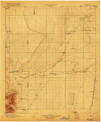
1916 · Point Of Sands
USGS Topo · 1:125,000
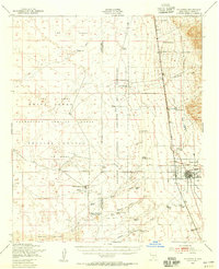
1948 · Tularosa
USGS Topo · 1:62,500
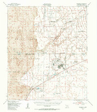
1948 · Holloman
USGS Topo · 1:62,500
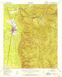
1950 · Alamogordo
USGS Topo · 1:62,500
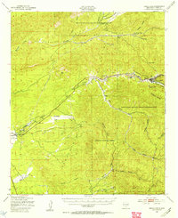
1950 · Mescalero
USGS Topo · 1:62,500

1954 · Carlsbad
USGS Topo · 1:250,000
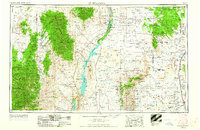
1954 · Tularosa
USGS Topo · 1:250,000
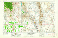
1955 · Las Cruces
USGS Topo · 1:250,000
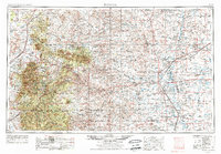
1955 · Roswell
USGS Topo · 1:250,000