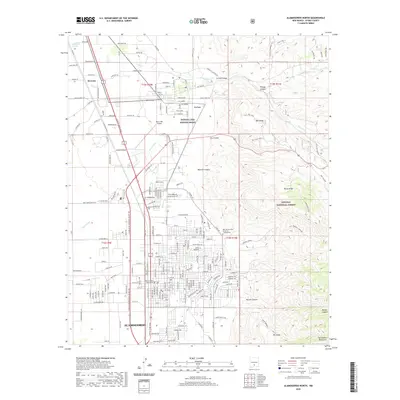
2020 Map of Alamogordo North
USGS Topo · Published 2020About this map
The high-desert foothills of the Sacramento Mountains meet the expanding urban grid of Alamogordo in this recent survey. The city's northern reaches are anchored by the New Mexico State University - Alamogordo campus and the Otero County Courthouse, while the historic settlement of La Luz sits to the north near the mouth of La Luz Canyon. This area illustrates the transition from organized municipal streets to the complex drainage systems of the arid landscape, featuring numerous arroyos and draws such as Red Arroyo, Ritas Draw, and Laborcita Arroyo. To the east, the terrain rises sharply into the Lincoln National Forest, where features like Mill Ridge and Horse Ridge overlook the basin. Aviation and water infrastructure are represented by the Otero Mill Airport and the Bonito Lake System Annex, reflecting the essential services supporting this mountain-border community.
Find a feature on this map
118 named features on this map. Tap any name to fly to it.
Don’t see what you’re looking for? This feature index may not catch every label — zoom into the map to look around manually.
Map Details
Editions of this 2020 Alamogordo North Map
This is the sole edition of this map. No revisions or reprints were ever made.
Other maps of this area

1916 · Tularosa
USGS Topo · 1:125,000

1916 · Point Of Sands
USGS Topo · 1:125,000

1948 · Tularosa
USGS Topo · 1:62,500

1948 · Holloman
USGS Topo · 1:62,500

1950 · Alamogordo
USGS Topo · 1:62,500

1950 · Mescalero
USGS Topo · 1:62,500

1954 · Carlsbad
USGS Topo · 1:250,000

1954 · Tularosa
USGS Topo · 1:250,000

1955 · Las Cruces
USGS Topo · 1:250,000

1955 · Roswell
USGS Topo · 1:250,000