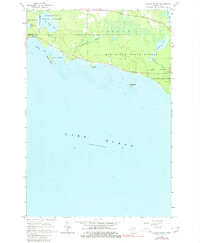
1964 Map of Albany Island
USGS Topo · Published 1980About this map
The southern coastline of the Upper Peninsula where Lake Huron meets the timberlands of the Munuscong State Forest is defined by a series of protected inlets and offshore islands. The 1964 topography shows the transition between the townships of Clark and Detour, characterized by low-lying wetlands and seasonal drainage systems like Joe Straw Creek and Trout Creek. Local landmarks such as Huron Point and Albany Island shelter Albany Harbor, offering a look at the natural seafaring geography before later recreational developments took hold.
Find a feature on this map
19 named features on this map. Tap any name to fly to it.
Don’t see what you’re looking for? This feature index may not catch every label — zoom into the map to look around manually.
Map Details
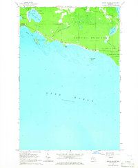
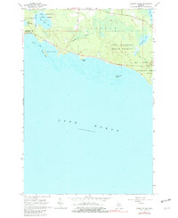
Editions of this 1964 Albany Island Map
3 editions found
Other maps of this area

1954 · Alpena
USGS Topo · 1:250,000

1954 · Sault Sainte Marie
USGS Topo · 1:250,000

1955 · Cheboygan
USGS Topo · 1:250,000

1956 · Sault Sainte Marie
USGS Topo · 1:250,000

1957 · Alpena
USGS Topo · 1:250,000

1957 · Sault Sainte Marie
USGS Topo · 1:250,000

1958 · Cheboygan
USGS Topo · 1:250,000

1958 · Alpena
USGS Topo · 1:250,000

1958 · Sault Sainte Marie
USGS Topo · 1:250,000

1961 · Blind River
USGS Topo · 1:250,000