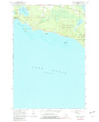
1964 Map of Albany Island
USGS Topo · Published 1982About this map
Lake Superior State Forest dominates the northern shoreline of the Upper Peninsula in this mid-1960s survey, illustrating a landscape defined by timbered tracts and glacial water bodies. The terrain transitions from the inland waters of Big Trout Lake and Little Trout Lake down to the rocky coast where Albany Creek and Joe Straw Creek meet the Great Lakes. The map details the intricate shoreline of Albany Harbor, sheltered by Albany Island, and the prominent navigational landmark of Huron Point.
Find a feature on this map
22 named features on this map. Tap any name to fly to it.
Don’t see what you’re looking for? This feature index may not catch every label — zoom into the map to look around manually.
Map Details
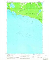
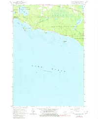
Editions of this 1964 Albany Island Map
3 editions found
Other maps of this area

1954 · Alpena
USGS Topo · 1:250,000

1954 · Sault Sainte Marie
USGS Topo · 1:250,000

1955 · Cheboygan
USGS Topo · 1:250,000

1956 · Sault Sainte Marie
USGS Topo · 1:250,000

1957 · Alpena
USGS Topo · 1:250,000

1957 · Sault Sainte Marie
USGS Topo · 1:250,000

1958 · Cheboygan
USGS Topo · 1:250,000

1958 · Alpena
USGS Topo · 1:250,000

1958 · Sault Sainte Marie
USGS Topo · 1:250,000

1961 · Blind River
USGS Topo · 1:250,000