2023 Map of Albany
USGS Topo · Published 2023About this map
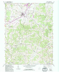
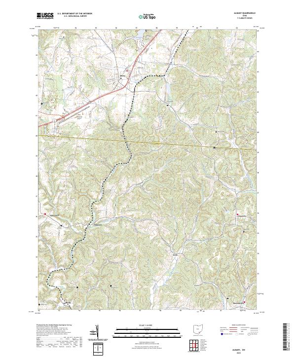
Albany serves as a central hub in this corner of Southeast Ohio, situated just north of the border between Athens Co and Meigs Co. The landscape is defined by the winding paths of Leading Creek and the West Branch Shade River, which carve through the region's complex network of hills. Notable for aviation history and education, the Ohio University Airport occupies a significant portion of the western terrain. Local history is deeply embedded in the land, evidenced by numerous family and community burial grounds such as Gotschall Cem, Shipman Cem, and the uniquely named School Lot Cem. The area maintains a pattern of small, dispersed settlements like Carpenter, Welsh, and Dyesville, connected by a web of rural routes including Hebbardsville Rd and Co Hwy 48. Recreations and natural features like Lake Snowden and Woods Lake punctuate the drainage basins of Fivemile Run and Margaret Creek.
Find a feature on this map
99 named features on this map. Tap any name to fly to it.
Don’t see what you’re looking for? This feature index may not catch every label — zoom into the map to look around manually.
Map Details
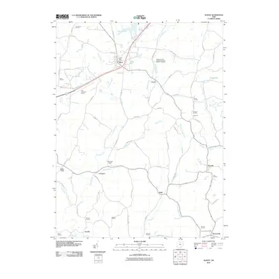
Editions of this 2023 Albany Map
This is the sole edition of this map. No revisions or reprints were ever made.
Historical Maps of Albany Through Time
6 maps found