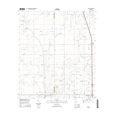
2015 Map of Albany
USGS Topo · Published 2015About this map
The Natalbany River and Little Natalbany River define the hydraulic landscape of this region along the border of Livingston Parish and Tangipahoa Parish. The area is characterized by a dense network of family-named roads and small community clusters, such as Woodhaven, Baptist, and Tickfaw, which reflect the localized settlement patterns of southeastern Louisiana. These tributaries, including Blood River and Yellow Water River, created a natural corridor for movement and early industry, while the naming of places like Gamble Spur and Kin Tally suggests the legacy of railroad sidings or specific family landholdings. Genealogists will find numerous local burial sites documented, ranging from the Hoover Cem in the northwest to the New Beula Cem near the southern boundary, providing a clear record of the community's ancestral footprint across the township and range system.
Find a feature on this map
168 named features on this map. Tap any name to fly to it.
Don’t see what you’re looking for? This feature index may not catch every label — zoom into the map to look around manually.
Map Details
Editions of this 2015 Albany Map
This is the sole edition of this map. No revisions or reprints were ever made.
Other maps of this area

1934 · Springfield
USGS Topo · 1:62,500

1935 · Ponchatoula
USGS Topo · 1:62,500

1939 · Ponchatoula
USGS Topo · 1:62,500

1939 · Springfield
USGS Topo · 1:62,500

1940 · Tickfaw
USGS Topo · 1:31,680

1942 · Montpelier
USGS Topo · 1:31,680

1942 · Loranger
USGS Topo · 1:31,680

1949 · Amite
USGS Topo · 1:31,680

1949 · Albany
USGS Topo · 1:31,680

1950 · Doyle
USGS Topo · 1:31,680