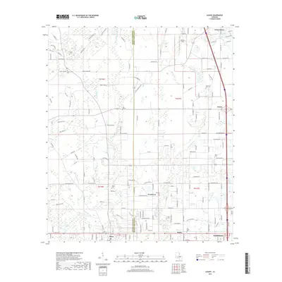
2018 Map of Albany
USGS Topo · Published 2018About this map
The boundary between Tangipahoa Parish and Livingston Parish bisects this landscape of lowland river systems and rural settlements. This 2018 survey documents a region defined by its hydrography, where the Little Natalbany River and Still Br flow toward the larger Natalbany River near the growing hub of Hammond. The southern corridor shows the development along Florida Boulevard, linking Albany to the community of Baptist. Genealogists will find a high concentration of burial sites throughout the pine woods and wetlands, including Zion Hill Cem, Hoover Cem, and the Nazarene Cem near Woodhaven. The presence of the Boggy Baygall reflects the dense, swampy terrain characteristic of the southeastern Louisiana interior, while named roads like Bill Stilley Rd and Mary Kinchen Rd indicate long-standing family landholdings in the area.
Find a feature on this map
157 named features on this map. Tap any name to fly to it.
Don’t see what you’re looking for? This feature index may not catch every label — zoom into the map to look around manually.
Map Details
Editions of this 2018 Albany Map
This is the sole edition of this map. No revisions or reprints were ever made.
Other maps of this area

1934 · Springfield
USGS Topo · 1:62,500

1935 · Ponchatoula
USGS Topo · 1:62,500

1939 · Ponchatoula
USGS Topo · 1:62,500

1939 · Springfield
USGS Topo · 1:62,500

1940 · Tickfaw
USGS Topo · 1:31,680

1942 · Montpelier
USGS Topo · 1:31,680

1942 · Loranger
USGS Topo · 1:31,680

1949 · Amite
USGS Topo · 1:31,680

1949 · Albany
USGS Topo · 1:31,680

1950 · Doyle
USGS Topo · 1:31,680