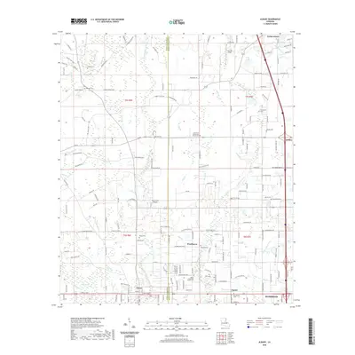
2020 Map of Albany
USGS Topo · Published 2020About this map
Livingston Parish and Tangipahoa Parish meet along a landscape defined by the southern piney woods and an intricate network of waterways including the Natalbany River and Blood River. This 2020 survey captures the transition from the organized grid of Hammond and Baptist in the southeast to the more rural, creek-carved stretches of Albany and Woodhaven. The numerous small cemeteries, such as Antioch Cem and Zion Hill Cem, are often located near local watercourses like Still Br and Parker Br, reflecting generations of family settlement patterns. Further north, the landscape opens into Serenity Field and reaches toward the communities of Independence and Tickfaw. The presence of the Plane-Crazy Airport and modern highway corridors alongside older landmarks like the Little River Pentecostal Church Cem shows how contemporary infrastructure has layered over the traditional parish landscape.
Find a feature on this map
168 named features on this map. Tap any name to fly to it.
Don’t see what you’re looking for? This feature index may not catch every label — zoom into the map to look around manually.
Map Details
Editions of this 2020 Albany Map
This is the sole edition of this map. No revisions or reprints were ever made.
Other maps of this area

1934 · Springfield
USGS Topo · 1:62,500

1935 · Ponchatoula
USGS Topo · 1:62,500

1939 · Ponchatoula
USGS Topo · 1:62,500

1939 · Springfield
USGS Topo · 1:62,500

1940 · Tickfaw
USGS Topo · 1:31,680

1942 · Montpelier
USGS Topo · 1:31,680

1942 · Loranger
USGS Topo · 1:31,680

1949 · Amite
USGS Topo · 1:31,680

1949 · Albany
USGS Topo · 1:31,680

1950 · Doyle
USGS Topo · 1:31,680