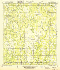
1949 Map of Albany
USGS Topo · Published 1949About this map
Livingston and Tangipahoa Parishes are divided by a series of winding watercourses and rural settlements in this mid-century survey. The landscape is defined by the Tickfaw River and Natalbany River, which flow southward through a terrain marked by family-named cemeteries and rural institutions. Settlements such as Woodhaven and Baptist serve as focal points along the transportation corridors, which include the Illinois Central Railroad and State Highway No 190.
Find a feature on this map
40 named features on this map. Tap any name to fly to it.
Don’t see what you’re looking for? This feature index may not catch every label — zoom into the map to look around manually.
Map Details
Editions of this 1949 Albany Map
This is the sole edition of this map. No revisions or reprints were ever made.
Other maps of this area
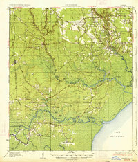
1934 · Springfield
USGS Topo · 1:62,500
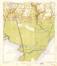
1935 · Ponchatoula
USGS Topo · 1:62,500
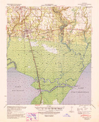
1939 · Ponchatoula
USGS Topo · 1:62,500
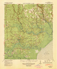
1939 · Springfield
USGS Topo · 1:62,500
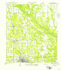
1940 · Tickfaw
USGS Topo · 1:31,680
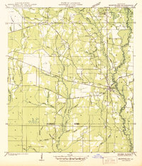
1942 · Montpelier
USGS Topo · 1:31,680
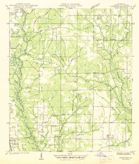
1942 · Loranger
USGS Topo · 1:31,680
1949 · Amite
USGS Topo · 1:31,680
1950 · Doyle
USGS Topo · 1:31,680
1951 · Ponchatoula
USGS Topo · 1:62,500