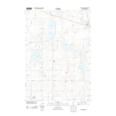
2013 Map of Albion Center
USGS Topo · Published 2013About this map
Maple Lake and the agricultural lands of western Wright County are defined by a dense network of glacial basins and early rural community sites. The small settlement of Albion Center sits at a crossroads south of Albion Lake, serving as a central point for the surrounding farmsteads. To the south, the village of Albright is situated near the winding course of the North Fork Crow River, which provides the primary drainage for this lake-heavy terrain. Genealogists will find a high concentration of burial grounds, including Alamaa Cem, Mt Herman Cem, Evangelical Cem, and Sylvan Cem, documenting the area's pioneer heritage. Large water bodies such as Cedar Lake, Swartout Lake, and Granite Lake dominate the northern and western sections, while the prominent Breezy Hills rise above the wetlands. This landscape illustrates a 21st-century view of a region where modern transportation routes like MN-55 intersect with deep-rooted community landmarks.
Find a feature on this map
54 named features on this map. Tap any name to fly to it.
Don’t see what you’re looking for? This feature index may not catch every label — zoom into the map to look around manually.
Map Details
Editions of this 2013 Albion Center Map
This is the sole edition of this map. No revisions or reprints were ever made.
Other maps of this area

1951 · Annandale
USGS Topo · 1:62,500

1953 · Saint Cloud
USGS Topo · 1:250,000

1953 · Stillwater
USGS Topo · 1:250,000

1955 · Stillwater
USGS Topo · 1:250,000

1957 · Saint Cloud
USGS Topo · 1:250,000

1958 · Stillwater
USGS Topo · 1:250,000

1958 · Saint Cloud
USGS Topo · 1:250,000

1958 · Buffalo
USGS Topo · 1:62,500

1958 · Cokato
USGS Topo · 1:62,500

1961 · Silver Creek
USGS Topo · 1:24,000
Featured Places
- Maple Lake, MN
- Albright, MN
- Maple Lake Mobile Home Park, Maple Lake
- Corinna Township, MN
- Maple Lake Township, MN