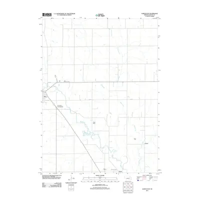
2011 Map of Albion East
USGS Topo · Published 2011About this map
Beaver Creek and Vorhees Creek define the agricultural landscape of this section of Boone County, Nebraska. The drainage from these waterways shapes the O'Neil Valley, a prominent geographic feature that influences the local road grid. The eastern edge of Albion is visible on the western margin, with transit routes like E Market St and E Fairview St connecting the town to the surrounding countryside.
Find a feature on this map
14 named features on this map. Tap any name to fly to it.
Don’t see what you’re looking for? This feature index may not catch every label — zoom into the map to look around manually.
Map Details
Editions of this 2011 Albion East Map
This is the sole edition of this map. No revisions or reprints were ever made.
Other maps of this area

1954 · Albion West
USGS Topo · 1:24,000

1954 · Cedar Rapids SE
USGS Topo · 1:24,000

1955 · Broken Bow
USGS Topo · 1:250,000

1955 · Fremont
USGS Topo · 1:250,000

1956 · Broken Bow
USGS Topo · 1:250,000

1957 · Fremont
USGS Topo · 1:250,000

1958 · Fremont
USGS Topo · 1:250,000

1958 · St. Edward
USGS Topo · 1:24,000

1958 · Albion East
USGS Topo · 1:24,000
1958 · St. Edward SW
USGS Topo · 1:24,000