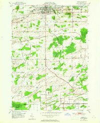
1950 Map of Albion
USGS Topo · Published 1965About this map
The Erie Canal anchors the northern portion of this Orleans County landscape, passing directly through the heart of Albion. In this mid-century survey, the village serves as a centralized hub of infrastructure and institution, featuring the New York Central railroad and the State Training School for Girls. To the south, the terrain transitions into the agricultural township of Barre, marked by several distinct crossroads settlements and family-named landmarks. The presence of Mt Albion Cem, St Josephs Cemetery, and the Allis Cem provides significant genealogical value for those tracing local lineages. Further south, the map details the expansive Oak Orchard Swamp and its associated Spoil Banks, revealing the engineering and drainage patterns required to manage the wetlands near the boundary of Orleans and Genesee counties.
Find a feature on this map
50 named features on this map. Tap any name to fly to it.
Don’t see what you’re looking for? This feature index may not catch every label — zoom into the map to look around manually.
Map Details
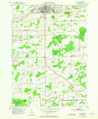
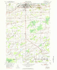
Editions of this 1950 Albion Map
3 editions found
Other maps of this area

1897 · Albion
USGS Topo · 1:62,500

1897 · Medina
USGS Topo · 1:62,500

1897 · Oak Orchard
USGS Topo · 1:62,500

1897 · Ridgeway
USGS Topo · 1:62,500

1944 · Holley
USGS Topo · 1:31,680

1944 · Byron
USGS Topo · 1:31,680

1944 · Ashwood
USGS Topo · 1:31,680

1944 · Albion
USGS Topo · 1:31,680

1949 · Kendall
USGS Topo · 1:62,500
1950 · Knowlesville
USGS Topo · 1:24,000