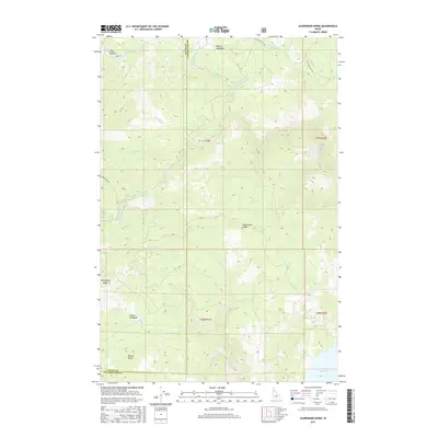
2017 Map of Aldermand Ridge
USGS Topo · Published 2017About this map
Aldermand Ridge and Norwegian Ridge define the high terrain of this landscape where Latah and Clearwater counties meet. The area is characterized by a network of drainage systems feeding into the Dworshak Reservoir at its southeastern edge, including the winding paths of N Fork Dicks Cr and Dicks Cr. Notable clearings and flatlands such as Mason Meadows and Round Meadows provide geographical anchors among the heavily contoured slopes. Historically significant access points and localized landmarks like Mason Butte and Long Meadow are documented, alongside a web of forest service roads such as Park Rd and Three Bear Rd. The map illustrates the specialized water management and timber landscape of the Pacific Northwest, tracing numerous named streams like Riswold Cr and Chambers Cr that flow through the various townships and ranges.
Find a feature on this map
30 named features on this map. Tap any name to fly to it.
Don’t see what you’re looking for? This feature index may not catch every label — zoom into the map to look around manually.
Map Details
Editions of this 2017 Aldermand Ridge Map
This is the sole edition of this map. No revisions or reprints were ever made.
Other maps of this area

1955 · Pullman
USGS Topo · 1:250,000

1958 · Pullman
USGS Topo · 1:250,000

1961 · Ahsahka
USGS Topo · 1:62,500

1961 · Bovill
USGS Topo · 1:62,500

1969 · Elk River
USGS Topo · 1:24,000

1969 · Elk Creek Falls
USGS Topo · 1:24,000
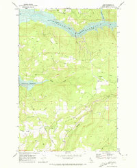
1969 · Dent
USGS Topo · 1:24,000

1981 · Potlatch
USGS Topo · 1:100,000
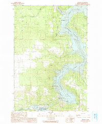
1990 · Ahsahka
USGS Topo · 1:24,000
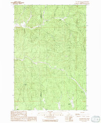
1990 · Mc Gary Butte
USGS Topo · 1:24,000