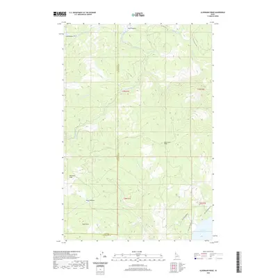
2020 Map of Aldermand Ridge
USGS Topo · Published 2020About this map
Aldermand Ridge anchors the central high ground of this landscape along the border of Latah and Clearwater counties. The terrain is defined by a dense network of drainage systems, including Three Bear Creek, North Fork Dicks Creek, and the curiously named Tired Wolf Creek. These waterways descend from timbered heights like Norwegian Ridge and Mason Butte toward the southern extent of the sheet, where the waters of the Dworshak Reservoir begin to collect.
Find a feature on this map
29 named features on this map. Tap any name to fly to it.
Don’t see what you’re looking for? This feature index may not catch every label — zoom into the map to look around manually.
Map Details
Editions of this 2020 Aldermand Ridge Map
This is the sole edition of this map. No revisions or reprints were ever made.
Other maps of this area

1955 · Pullman
USGS Topo · 1:250,000

1958 · Pullman
USGS Topo · 1:250,000

1961 · Ahsahka
USGS Topo · 1:62,500

1961 · Bovill
USGS Topo · 1:62,500

1969 · Elk River
USGS Topo · 1:24,000

1969 · Elk Creek Falls
USGS Topo · 1:24,000
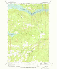
1969 · Dent
USGS Topo · 1:24,000

1981 · Potlatch
USGS Topo · 1:100,000
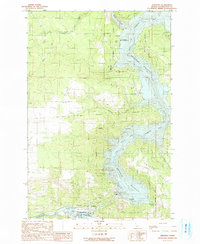
1990 · Ahsahka
USGS Topo · 1:24,000
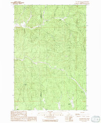
1990 · Mc Gary Butte
USGS Topo · 1:24,000