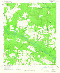
1964 Map of Alexander
USGS Topo · Published 1965About this map
The winding course of Brier Creek anchors this mid-century survey of Burke County, where river landings and country churches define the rural landscape. Settled communities like Alexander and Telfairville are surrounded by a dense network of family-named landmarks and cemeteries, reflecting deep genealogical roots in the Georgia backcountry. The terrain is marked by numerous water bodies, from Telfair Pond in the north to the swampy reaches of Chickasaw Branch and Peters Branch feeding the central creek system.
Find a feature on this map
41 named features on this map. Tap any name to fly to it.
Don’t see what you’re looking for? This feature index may not catch every label — zoom into the map to look around manually.
Map Details
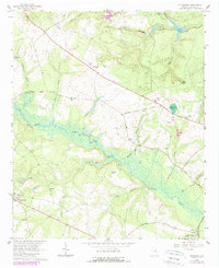
Editions of this 1964 Alexander Map
2 editions found
Other maps of this area

1920 · Ellenton
USGS Topo · 1:48,000

1920 · Hilltonia
USGS Topo · 1:62,500

1920 · Millen
USGS Topo · 1:62,500

1920 · Greens Cut
USGS Topo · 1:62,500

1921 · Ellenton
USGS Topo · 1:62,500

1943 · Hilltonia
USGS Topo · 1:62,500

1943 · Greens Cut
USGS Topo · 1:62,500

1943 · Millen
USGS Topo · 1:62,500

1943 · Augusta East
USGS Topo · 1:125,000

1943 · Millen
USGS Topo · 1:125,000