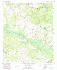
1964 Map of Alexander
USGS Topo · Published 1989About this map
The lowlands of the Brier Creek basin dominate this 1964 survey, revealing a landscape of dense swamps and river landings in eastern Georgia. The settlement of Alexander anchors the southwest corner, while smaller developments like Telfair Woods and a Trailer Park emerged along the primary roadways. The area is heavily defined by its rural social infrastructure, with several country churches including Botsford Ch, Ebenezer Ch, and Springfield Ch serving as community hubs.
Find a feature on this map
40 named features on this map. Tap any name to fly to it.
Don’t see what you’re looking for? This feature index may not catch every label — zoom into the map to look around manually.
Map Details
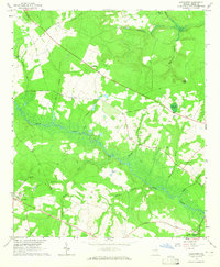
Editions of this 1964 Alexander Map
2 editions found
Other maps of this area

1920 · Ellenton
USGS Topo · 1:48,000

1920 · Hilltonia
USGS Topo · 1:62,500

1920 · Millen
USGS Topo · 1:62,500

1920 · Greens Cut
USGS Topo · 1:62,500

1921 · Ellenton
USGS Topo · 1:62,500

1943 · Hilltonia
USGS Topo · 1:62,500

1943 · Greens Cut
USGS Topo · 1:62,500

1943 · Millen
USGS Topo · 1:62,500

1943 · Augusta East
USGS Topo · 1:125,000

1943 · Millen
USGS Topo · 1:125,000